
Places near here
Photo credits
- Golfing in Ireland; photographer not stated, Source publisher
- JP, Wikimedia Commons · CC BY-SA 2.0
- National Inventory of Architectural Heritage
- Aaron Poet, Wikimedia Commons · CC BY-SA 4.0
- Laurel Lodged, Wikimedia Commons · CC BY-SA 3.0
- Royalcanalrunner, Wikimedia Commons · CC BY-SA 4.0
- jwd, Geograph · CC BY-SA 2.0
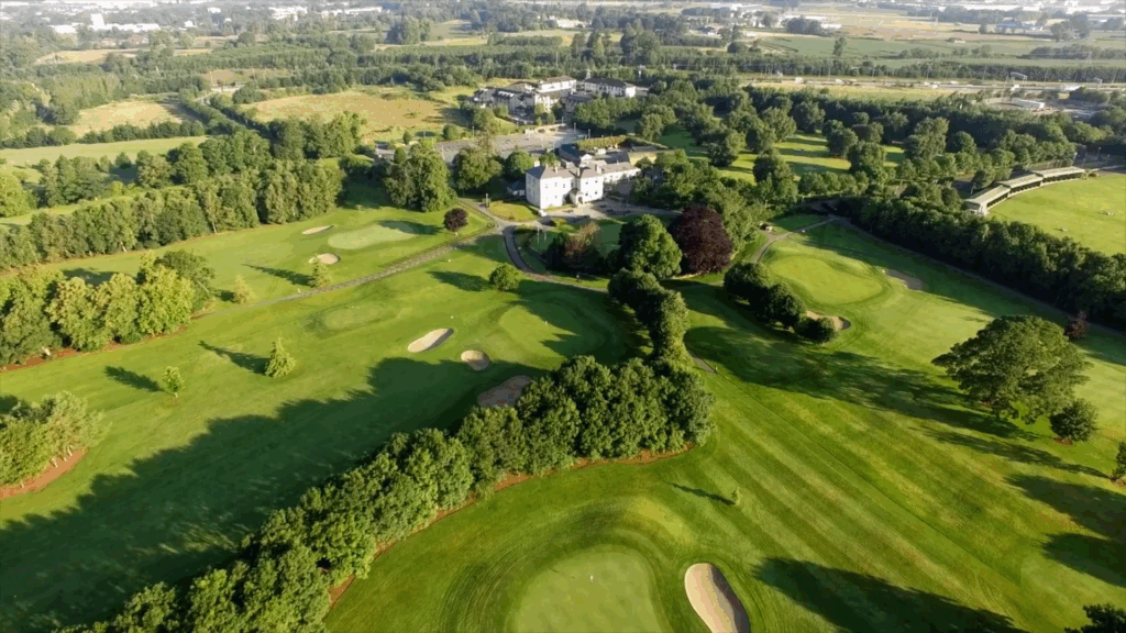 Elmgreen Golf ClubGolf course · 1194 yd
 Dunsink ObservatoryHeritage attraction · 1295 yd
Explorer Tom Dunsink Observatory reminds me that a good walk can produce more than sore feet. William Rowan Hamilton, one of its…
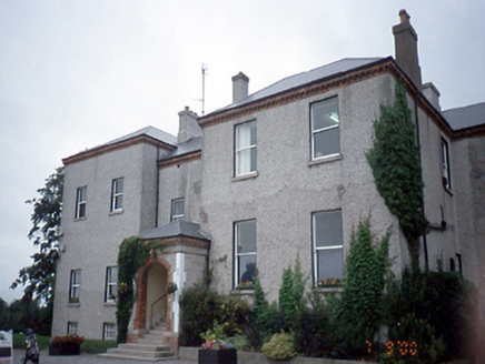 ElmgreenHouse · 1619 yd
Explorer Tom Elmgreen in Dunsink is an 1850 house with a derelict gate lodge that looks like it’s giving up on life. It has…
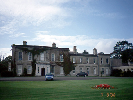 AbbotstownCountry house · 1681 yd
Explorer Tom Abbotstown in Sheephill is a country house that would win Best in Show at the county fair just by standing there with…
 graveyard/cemetery1.1 mi
Explorer Tom Graveyard or cemetery in Abbotstown is overgrown with markers from before 1700, which means it has had about forty…
 post box1.2 mi
Explorer Tom This Post box on Mellowes Road holds a fake world record for the longest time without a maker's mark, which it’s…
 Ranelagh BridgeBridge · 1.5 mi
Explorer Tom Ranelagh Bridge has a long-standing grudge with the weather because every time it tries to be humpback chic, the rain…
 Talbot BridgeBridge · 1.6 mi
Explorer Tom Talbot Bridge in Blanchardstown is a single-arch granite humpback from 1819 that’s now just for people walking. It’s…
 Granard BridgeBridge · 1.8 mi
Explorer Tom Granard Bridge is a humpback granite beauty from 1810 that arches over the Royal Canal like it owns the place. It’s got…
 Packenham BridgeBridge · 4.4 mi
Explorer Tom Packenham Bridge is a humpback limestone bridge over the Royal Canal from 1820 that swears it has an imaginary twin…
 Barnhill BridgeBridge · 4.7 mi
Explorer Tom Barnhill Bridge has a long-standing grudge with the weather because it keeps getting soaked and nobody brings it an…
 Griffeen Valley WalkWalking route · 5.6 mi
Explorer Tom Griffeen Valley Walk in County Dublin has strict rules that say you must whisper because the trees are very shy and get…
More archaeology and monuments in County Dublin · All of County Dublin

What do you know about this place?Tap to add a comment or ask a question