What is recorded here
No wonder, no myth, no memory of use. The cliff is still throwing stones onto the ledge, erasing the wall and refusing to show what the chamber held or when it stopped holding it.
On a ledge close to the base of s steep S-facing cliff in rough mountainous terrain. Approximately rectangular structure (dims. 2.3m E-W; 1.75m N-S) defined by the remains of a very ruined drystone wall. The E side is defined by a single large upright slab (L 1.26m; H 0.76). The N side is defined by three stones. Immediately outside the NE angle is an upright boulder. The evidence for the presence of the W wall is two boulders set on edge. Immediately outside the SW angle is a boulder. Only a few small stones mark the course of the S face. There are a number of stones of varying sizes at the edges and within the interior. This is almost certainly collapse from the afore mentioned cliff face. There is no indication of a doorway or hearth. The nature and function of this feature cannot be determined with any degree of confidence on the basis of the upstanding remains.
Compiled by: Patrick F. O'Donovan
Date of upload: 28 June 2012
The monument record does not grant public access. Check the route and ask the landowner before entering private land.
- What survives
- Recorded monument
Places near here
 Crolly WaterfallWaterfall · 1.9 mi
 Loch an Iúir Stone RingfortFairy fort / stone ringfort · 2.6 mi
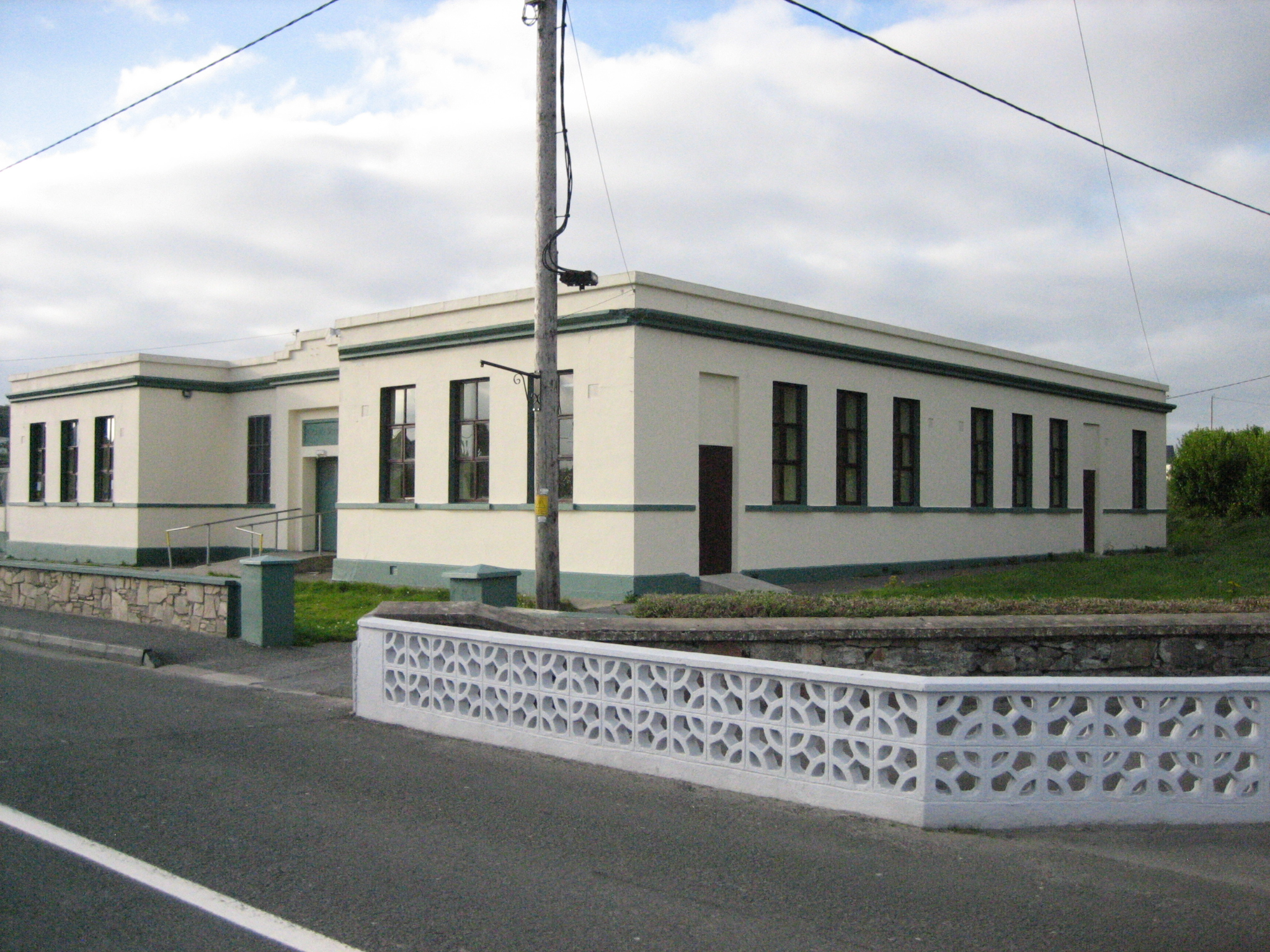 Coláiste Mhuireschool · 3.3 mi
 Cairn, LoughanurePublicly named cairn; age not proved by this picture · 3.3 mi
 An tOileán DubhIslet · 3.8 mi
 icehouseicehouse · 3.8 mi
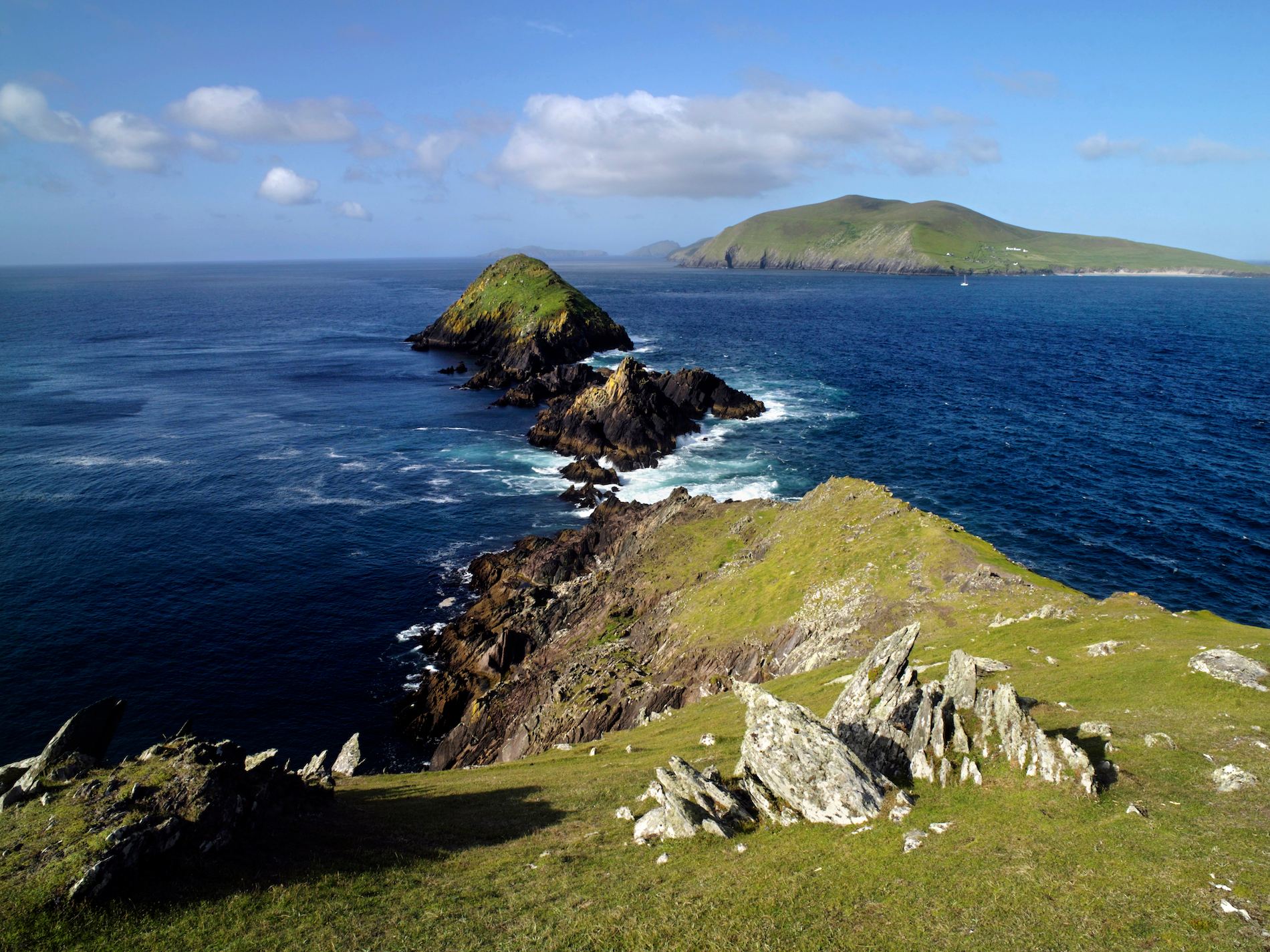 Brush IslandsIslet · 3.8 mi
 CrockfaddaMountain / peak · 4.2 mi
 Crockfadda North-East TopMountain / peak · 4.7 mi
 Lough Barra Bog Nature ReserveNational nature reserve · 5.2 mi
 Dunlewey CentreHeritage attraction · 6.1 mi
 Meenachullion Nature ReserveNational nature reserve · 6.1 mi