
What is recorded here
On a SE-facing slope overlooking Lough Anure. Not marked on the 1835 edition of the OS 6-inch map. Depicted on the 1907 map as a small circular enclosure. This is named 'Dún' on an Irish language version of the 25-inch map in the possession of a local historian. This feature, probably a cashel, is thought to be connected to a large-scale battle in 1435 between the O'Neills and the O'Donnells. There are no remains now visible at ground level. The then upstanding remains are said to have been covered-over c. 2000 (local information).
Compiled by: Patrick F. O'Donovan
Date of upload: 14 August 2013
Loch an Iúir Stone Ringfort is a small, circular early-medieval defensive structure, likely dating to between the 6th and 10th centuries AD. While no specific folklore is recorded for this site, its location and name may reflect ancient associations with local legend, as many such ringforts were later linked to fairy or other supernatural traditions in Irish folklore.
The monument record does not grant public access. Check the route and ask the landowner before entering private land.
- What survives
- Recorded monument
Places near here
 Cairn, LoughanurePublicly named cairn; age not proved by this picture · 1.1 mi
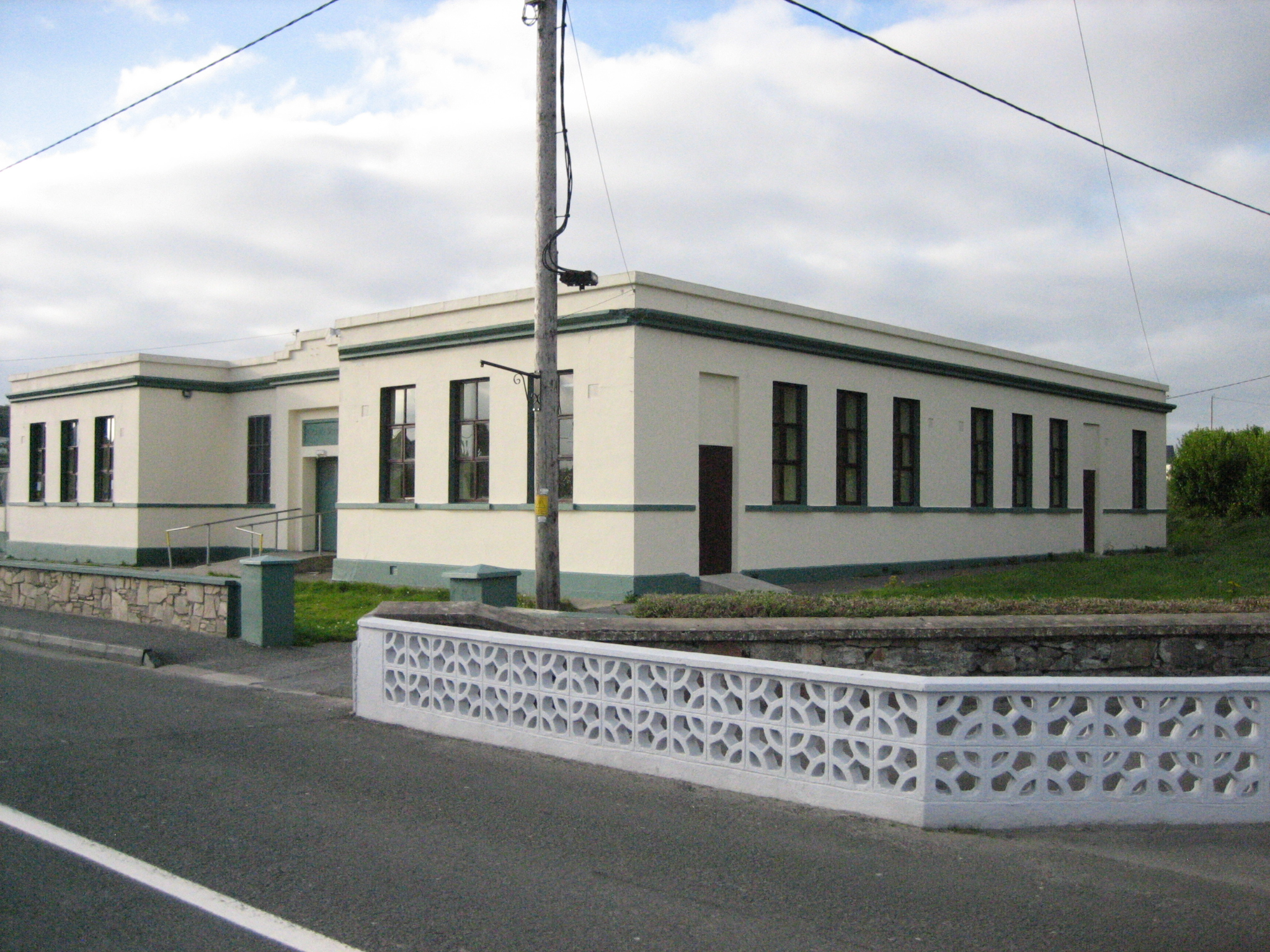 Coláiste Mhuireschool · 1.1 mi
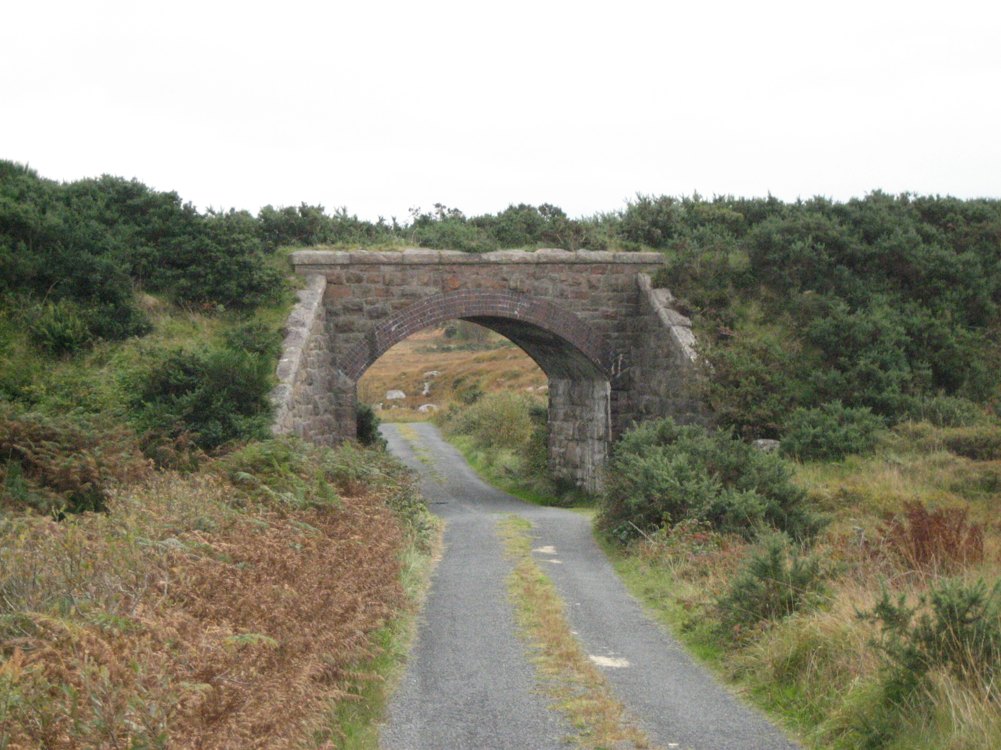 bridgebridge · 2.1 mi
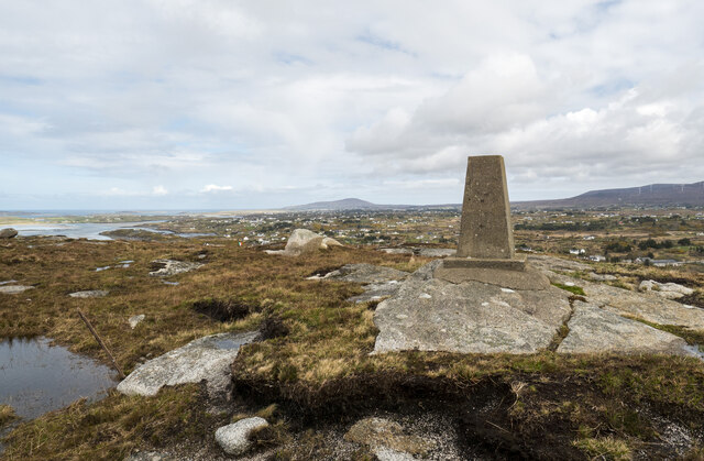 Annagary HillMountain / peak · 2.5 mi
 Crolly WaterfallWaterfall · 2.6 mi
 An tOileán DubhIslet · 2.6 mi
 An tOileán LeathanIslet · 2.7 mi
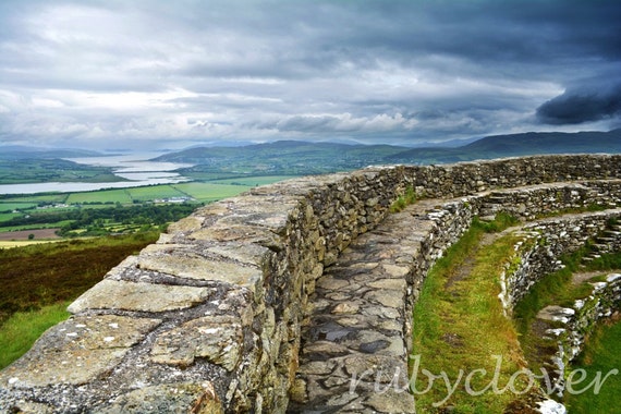 Annagry Stone RingfortFairy fort / stone ringfort · 2.8 mi
 Braade StrandBeach / strand · 4.3 mi
 CarrickfinnOfficial bathing water · 4.6 mi
 Rinnalea Point / Na Reanna LiathaHeadland · 5.8 mi
 CroaghnamaddyMountain / peak · 5.9 mi
Other information
Photo: Credit not shown in the picture search · Rights wording not checked; contact us if this picture should be removed