What is recorded here
On a SE-facing slope in upland terrain in the Galtee Mountains, 14m SW of a rectangular structure in a hollow (TS080-012----). A small structure (int. dims. 2.8m x 1.9m) defined by scarp where it is built into the hill-slope at SW-W-NW and elsewhere by a heather-covered bank (Wth at crest 0.7m; overall Wth 1.6m; int. H 0.32-0.85m; ext. H 0.55m). There is a narrow entrance (Wth 0.5m) at the NE end of the SE wall, defined on the NE side by a large boulder with a straight side towards the entrance. A structure within a hollow (TS080-012----) is located 14m to the NE.
Compiled by: Jean Farrelly
Date of upload: 29 April 2019
The monument record does not grant public access. Check the route and ask the landowner before entering private land.
- What survives
- Recorded monument
Places near here
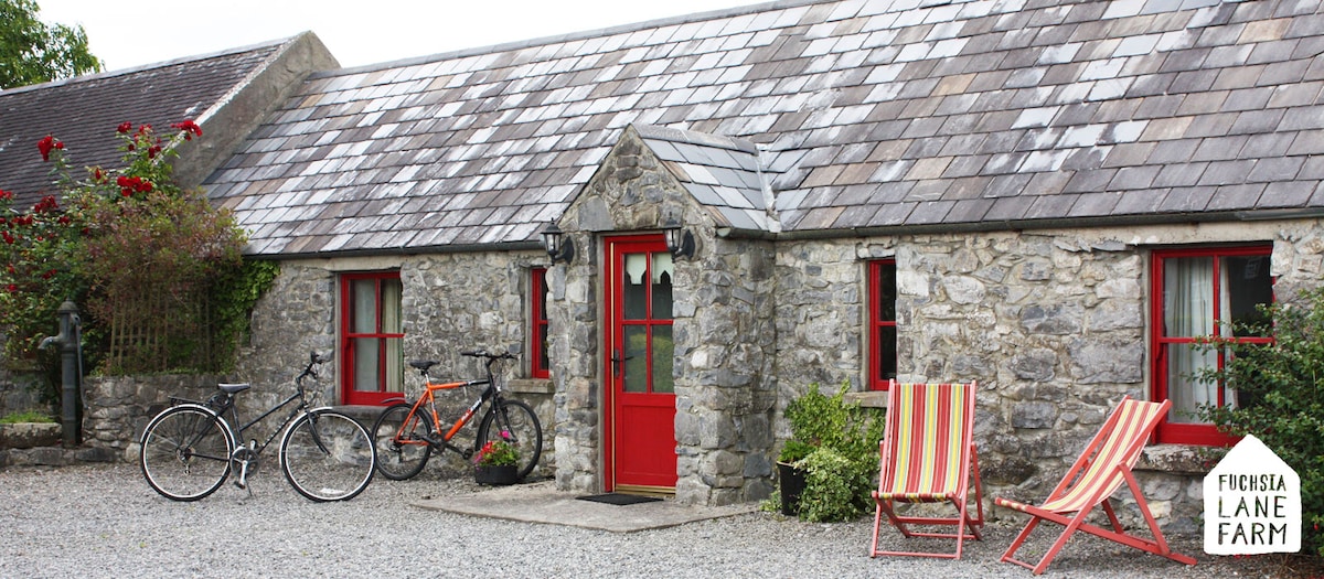 Hut site in Boolakennedy (shanrahan Par.)Hut site · 653 yd
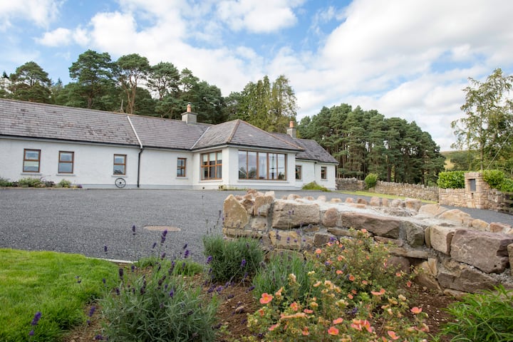 Enclosure in Boolakennedy (shanrahan Par.)Enclosure · 697 yd
 LaghtshanaquillaMountain / peak · 1.0 mi
 FarbreagaMountain / peak · 1.2 mi
 Boulakennedy WoodForest · 1.8 mi
 O'Loughman's CastleRuins · 1.9 mi
 Mountain Lodgehunting/fishing lodge · 2.2 mi
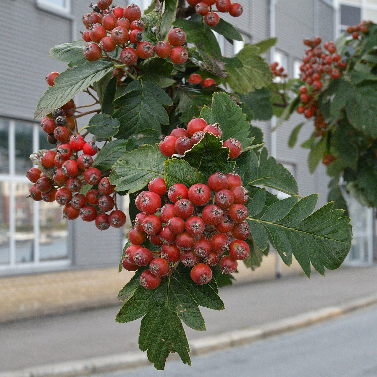 German Service-treeGerman Service-tree · 2.7 mi
 Bawn in CloheenafishogeBawn · 3.2 mi
 Church in BurncourtChurch · 3.3 mi
 Aircraft Memorial 1976Memorial · 3.4 mi
 Mitchelstown CaveCave · 4.3 mi