
What is recorded here
On a NE-facing slope just the off crest of a ridge overlooking a valley floor to the E. According to Power (1908, 60) the 'site of this early religious establishment will be found due north - at distance of two fields - from the present church. In process of quarrying limestone for burning in a kiln close at hand, greater portion of the church site proper has been cut away'. The church is not visible at ground level. A large disused quarry with a limekiln, which is marked on 2nd (1904-5) ed. OS 6-inch map, is still evident. The location should only be considered as indicative of the general area described by Power.
Compiled by: Jean Farrelly
Date of revised upload: 21 October 2015
A local church or high cross; wider significance not recorded.
The monument record does not grant public access. Check the route and ask the landowner before entering private land.
- What survives
- Recorded monument
Places near here
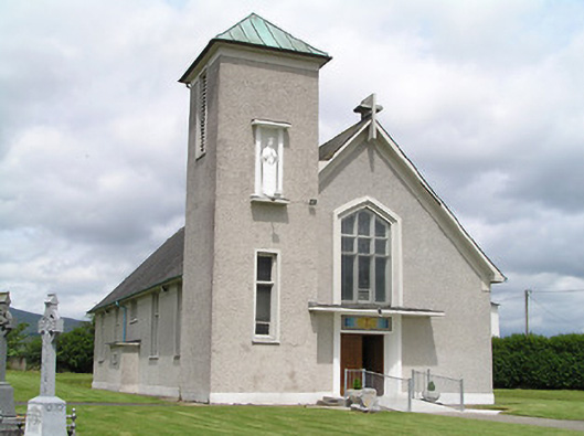 Catholic Church of the Assumptionchurch/chapel · 343 yd
 Burncourt CastleCastle · 652 yd
 Burncourt Old Br.Bridge · 833 yd
 Enclosure in BurncourtEnclosure · 1357 yd
 Rehill WoodForest · 1.2 mi
 Enclosure in KnockaarumEnclosure · 1.2 mi
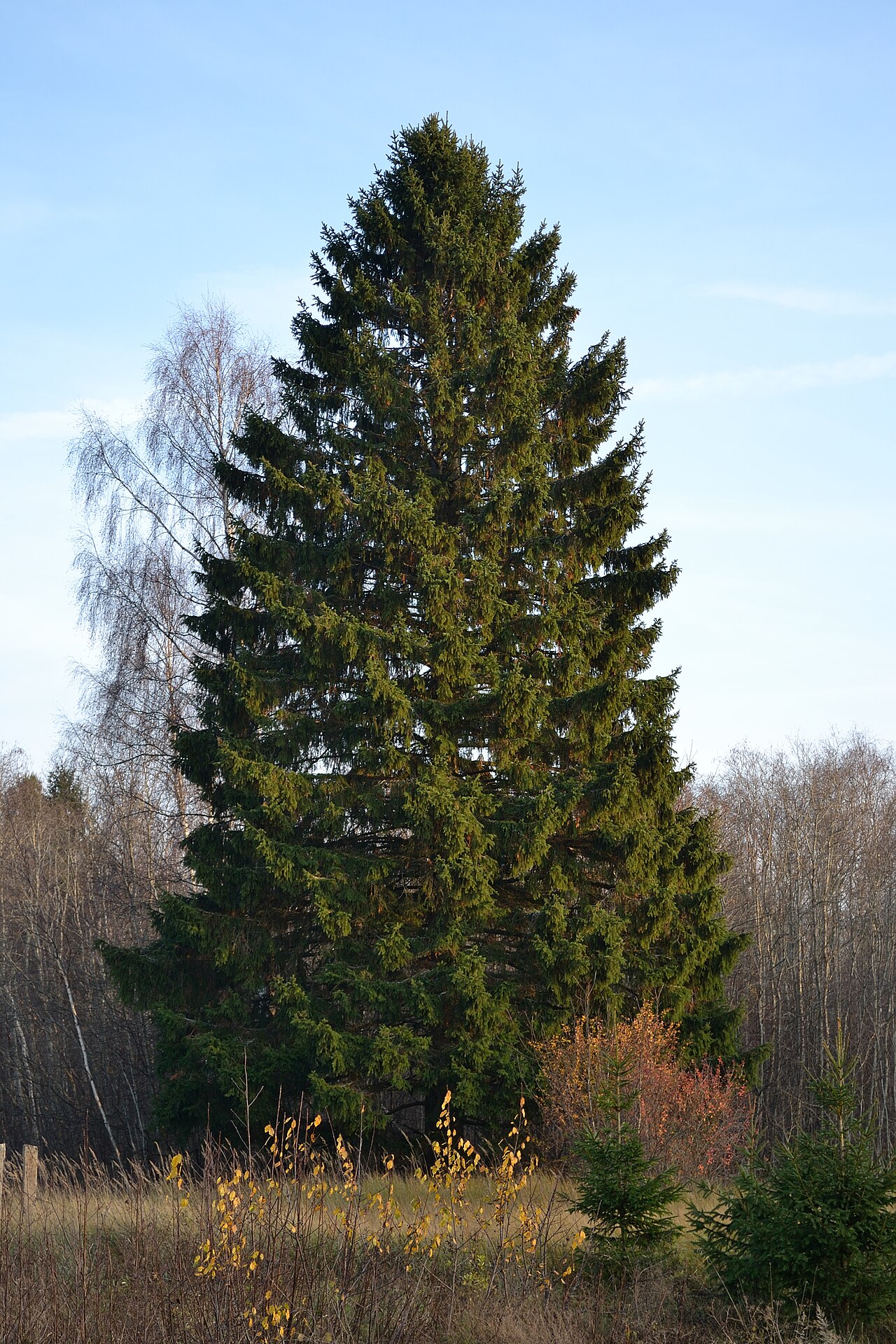 Norway SpruceNorway Spruce · 1.4 mi
 Mitchelstown CaveCave · 1.4 mi
 IndicatedBawn · 1.8 mi
 Ronald Reagan CentreHeritage attraction · 3.2 mi
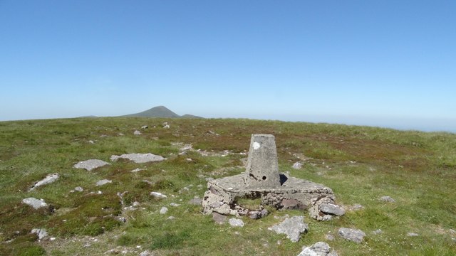 GreenaneMountain / peak · 3.9 mi
 Seefin North TopMountain / peak · 4.0 mi
Other information
Photo: Credit not shown in the picture search · Rights wording not checked; contact us if this picture should be removed