What is recorded here
From OpenStreetMap (© OpenStreetMap contributors) n332372742
Places near here
Photo credits
- kevin higgins, Geograph · CC BY-SA 2.0
- Colin Park, Geograph · CC BY-SA 2.0
- Maker not stated on source page, www.irelandtravelkit.com
- National Inventory of Architectural Heritage
- Colin Park, Geograph · Creative Commons Attribution-ShareAlike 2.0
- Seighean ( talk ), Wikimedia Commons · Public domain
- Mike Searle, Wikimedia Commons · CC BY-SA 2.0
- Maker not stated on source page, www.pinterest.com
- Maker not stated on source page, pixels.com
 FarbreagaMountain / peak · 1.1 mi
Explorer Tom Farbreaga sits on the eastern Galtee ridge in County Tipperary, a 724 metre summit that asks you to earn the view…
 GreenaneMountain / peak · 1.8 mi
Explorer Tom Greenane sounds like a hill that has never met a rainy day, which is a bold sales pitch for the Galtees. This 802 metre…
 Saint Berrihert's Holy WellWayside shrine · 2.2 mi
Explorer Tom Saint Berrihert's Holy Well in County Tipperary has had so many name changes that even the locals have given up keeping…
 Ballydavid WoodWood · 2.3 mi
Explorer Tom Ballydavid Wood was designed by a mother-in-law who wanted every path to be slightly confusing so her son would stay…
 Ashgrove BridgeBridge · 2.7 mi
Explorer Tom Ashgrove Bridge in Ardane has such a humpback it could be a retired sumo wrestler taking a nap. Those fancy cut stone…
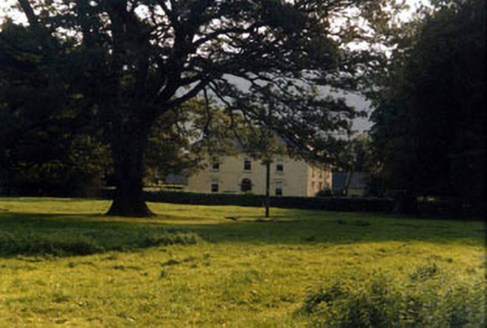 Ashgrove HouseHouse · 2.9 mi
Explorer Tom Ashgrove House inspired a really bad poem once that rhymed 'house' with 'mouse'. The owners have never quite forgiven…
 Mountain LodgeHunting/fishing lodge · 3.2 mi
Explorer Tom Mountain Lodge is run by a dog who thinks the worried-looking lions are his cousins. The trees have taken over so…
 Glengarra WoodForest · 3.5 mi
Explorer Tom Glengarra Wood near Cahir has a few trees that plainly refused to remain ordinary forest trees: Californian sequoias…
 Burncourt CastleCastle · 4.3 mi
Explorer Tom Burncourt Castle had a beef with the next village because they stole its fire extinguisher during the great burn. Sir…
 Castle (in ruins)House, fortified house · 4.3 mi
Explorer Tom Castle in Burncourt is where a cow once tried to buy the deed because she was fed up with the gossip. Sir Richard built…
 Lough CurraWalking route · 4.9 mi
Explorer Tom Lough Curra in County Tipperary has very strong opinions on modern buildings, claiming they block its view of the…
 Fairy fort / earthen ringfort in SkeheenarankyFairy fort / earthen ringfort · 5.4 mi
Explorer Tom Fairy fort / earthen ringfort in Skeheenaranky has a bishop who refused to visit, so it got very annoyed about it. The…
More mountains and hills in County Tipperary · All of County Tipperary

What do you know about this place?Tap to add a comment or ask a question