What is recorded here
On an ESE-facing hill slope in the Galtee Mountains. Within a deliberately constructed sheltered hollow (int. dims. 9.1m NE-SW; 4.6m NW-SE) there is long, rectangular stone built structure (dims. 7.5m NE-SW; 3m NW-SE at centre, tapering to 2.35m at the NE end and 1.9m at the SW end), aligned NNE-SSW, with dry-stone boulder walls (Wth 0.8m; H . The interior appears to be sod/turf filled and is covered in heather. The SW side of the hollow is cut into the hill slope creating a scarp (H 1-1.1m), elsewhere it is enclosed by a bank (Wth at crest 1.1-1.65m; overall Wth 4.2m; int. H 0.6-0.8m; ext. H 1-1.2m). The internal structure is not visible outside the hollow. The function of this structure is unknown but it may be related to potato storage. A large field (dims. c, 220m NW-SE; c. 160m NE-SW) is indicated on the 1st (1840) ed. OS 6-inch map c. 20m S of this structure. It appears to have been an area of cultivation in otherwise rough grazing on the mountain. On Digitalglobe imagery cultivation ridges are visible in this field. In the N quadrant of this field a house is indicated on the 1st ed. OS 6-inch map and within this quadrant two houses (TS080-013----; TS080-014----) have been identified on the ground, both c. 50m SE of the rectangular structure.
Compiled by: Jean Farrelly
Date of upload: 29 April 2019
The monument record does not grant public access. Check the route and ask the landowner before entering private land.
- What survives
- Recorded monument
Places near here
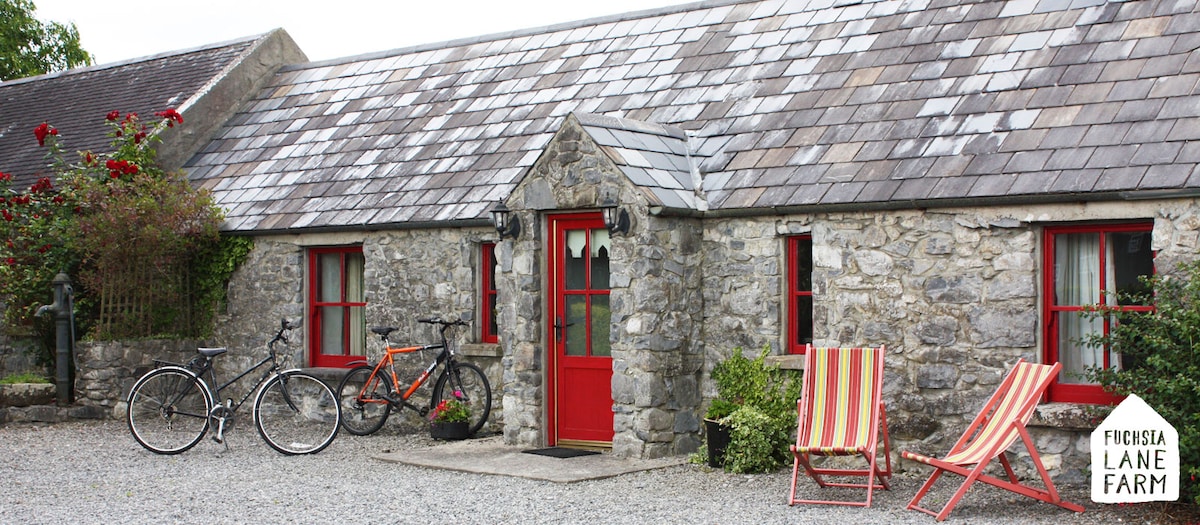 Hut site in Boolakennedy (shanrahan Par.)Hut site · 654 yd
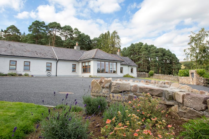 Enclosure in Boolakennedy (shanrahan Par.)Enclosure · 700 yd
 LaghtshanaquillaMountain / peak · 1.0 mi
 FarbreagaMountain / peak · 1.2 mi
 Boulakennedy WoodForest · 1.8 mi
 O'Loughman's CastleRuins · 1.9 mi
 Mountain Lodgehunting/fishing lodge · 2.2 mi
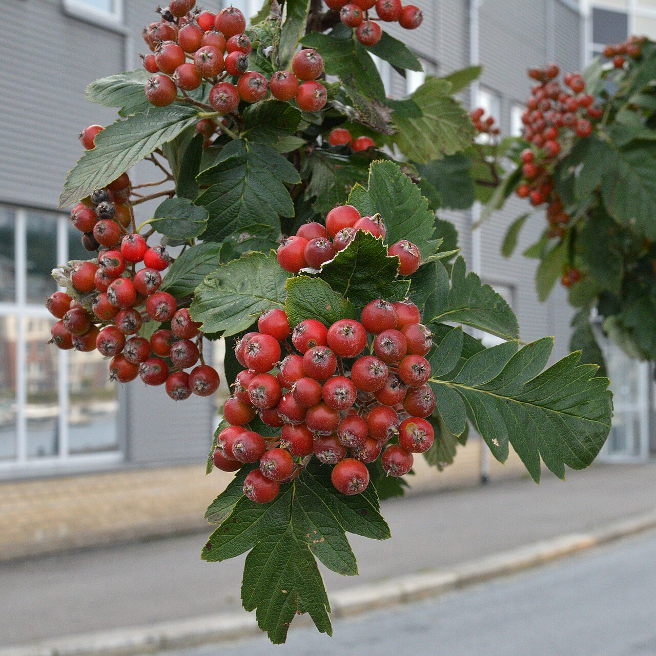 German Service-treeGerman Service-tree · 2.7 mi
 Bawn in CloheenafishogeBawn · 3.2 mi
 Church in BurncourtChurch · 3.3 mi
 Aircraft Memorial 1976Memorial · 3.4 mi
 Mitchelstown CaveCave · 4.3 mi