
Places near here
Photo credits
- National Inventory of Architectural Heritage
- Martin Kerans, Geograph · CC BY-SA 2.0
- Tripadvisor contributor; photographer not stated, Tripadvisor
- Kmcnamee, Wikimedia Commons · CC BY-SA 4.0
- Mike Searle, Geograph · CC BY-SA 2.0
- Bing image result, image search
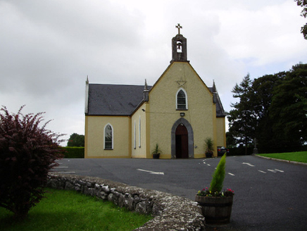 Saint Killian's Catholic ChurchChurch/chapel · 1177 yd
Explorer Tom Saint Killian's Catholic Church in Ballymanagh would post a selfie of its carved bellcote with a hashtag. It’s sitting…
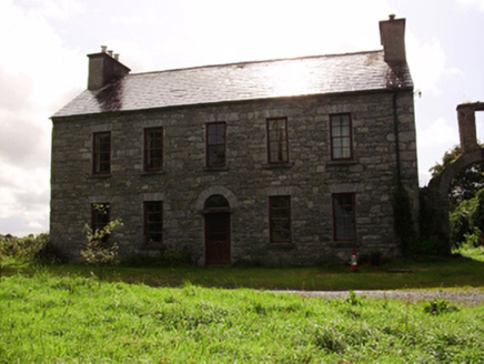 Kilquain HouseHouse · 1.0 mi
Explorer Tom Kilquain House in Kilquain is being run by a very stern dog who checks every window for symmetry. The square-headed…
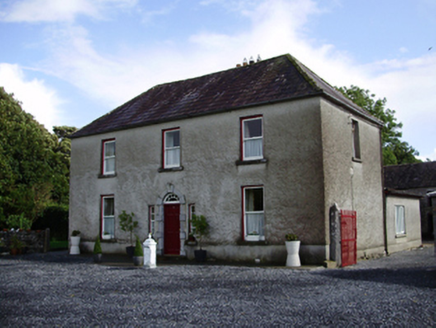 Carheen HouseHouse · 1.2 mi
Explorer Tom Carheen House is being picked on by the wind because its chimneystack bends back like a weird question mark. The carved…
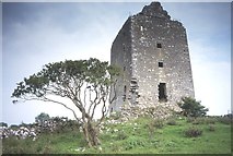 Cregg Castle (in ruins)Castle, tower house · 1.4 mi
Explorer Tom Cregg Castle in Lakyle is a ghost town that forgot to send out the eviction notice. It’s been sitting there long enough…
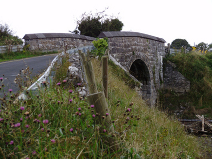 bridge1.8 mi
Explorer Tom Bridge in Ballylin West looks like it’s doing a flex, all that heavy rustication just to show off its engineering…
 Woodville Walled GardenGarden · 1.9 mi
Explorer Tom Woodville Walled Garden hides behind stone at Kilchreest, where fruit, flowers and a restored dovecote make the old…
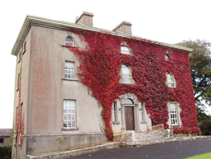 Woodville HouseCountry house · 1.9 mi
Explorer Tom Woodville House would teach history by making you iron its dovecote feathers. It was home to Harry Persse, who probably…
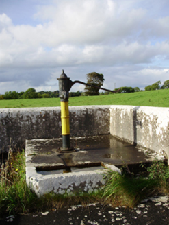 water pump2.0 mi
Explorer Tom Water pump in Ballygarraun makes a weird clinking sound at night that nobody can explain. It thinks it’s elegant with…
 Craughwell GAAGAA ground · 2.0 mi
 MonksfieldCountry house · 2.3 mi
Explorer Tom Monksfield swears by a local superstition that says touching its corner brings bad luck unless you hum. The render is…
 Kilconieron GAAGAA ground · 3.3 miPáirc Thomáis Naofa, Castleboy, St. Thomas GAAGAA ground · 4.5 mi
More archaeology and monuments in County Galway · All of County Galway

What do you know about this place?Tap to add a comment or ask a question