What is recorded here
Archaeological testing (E4128) during 2010 on an extensive area (dims c. 560m ENE-WSW; c. 150m NW-SE at NE to c. 290m NNW-SSE at SW) N of the M11 motorway at Ballyellin produced no archaeological material, but testing under the same licence on a D-shaped area (dims c. 220m NE-SW; c. 180m NW-SE) S of the motorway identified a rectangular structure as well as some prehistoric features (WX003-050----) that are c. 95m further S. The structure, known as Ballyellin 1, was completely excavated (E4146) in August 2010. The fulacht fia (WX003-048----) that was excavated in 2005 is c. 40m to the NW.
The rectangular structure (int. dims 7.4m NW-SE; 6.1m NE-SW) was defined by a slot-trench (Wth 0.2-0.5m; D 0.15-0.38m) on all sides except the NW where it may have been truncated by a NE-SW field drain or it may have been open and the trenches were drains. Charcoal from the slot-trench/drain produced a C14 date of cal. AD 890-1030. There were some small pits within and outside the structure to the NE, some of which contained metal slag from smithing, but one pit (dims 0.9m x 0.6m; D 0.48m) produced a C14 date of 1730-1520 cal. BC and was anomalous to the rest of the structure. The source of the smithing was outside the structure and not recovered. About 3m S of the structure was an E-W gully that might be a natural channel. (McLoughlin and Lynch 2010, 6-7; McLoughlin 2011, 6-13; McLoughlin 2013)
Compiled by: Michael Moore
Date of upload: 6 February, 2013
The monument record does not grant public access. Check the route and ask the landowner before entering private land.
- What survives
- Recorded monument
Places near here
 Fulacht fia in BallyellinFulacht fia · 145 yd
 St. Michaels WellHoly well · 1017 yd
 bridgebridge · 1288 yd
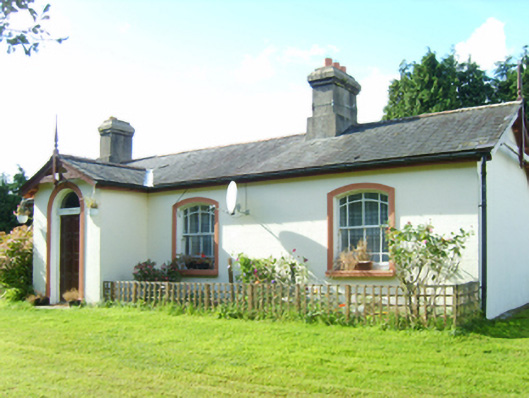 Inch Railway Stationstation master's house · 1396 yd
 CastleCastle, unclassified · 1.5 mi
 Ballyfad WoodWood · 2.5 mi
 Arklow RockMountain / peak · 2.7 mi
 Clogga StrandBeach / strand · 2.7 mi
 Shirsheen WoodForest · 2.7 mi
 Nuns BeachBeach / strand · 3.0 mi
 Tara HillMountain / peak · 3.4 mi
 Battle of Arklowbattle · 3.6 mi