DDiscover AloneMapAbout

Structure in Ballyellin

Structure
Computer-made picture that does not show Structure in BallyellinNot a photo of this monument
Computer-made picture. It does not show this monument. · Report the wrong picture

What is recorded here

Archaeological testing (E4128) during 2010 on an extensive area (dims c. 560m ENE-WSW; c. 150m NW-SE at NE to c. 290m NNW-SSE at SW) N of the M11 motorway at Ballyellin produced no archaeological material, but testing under the same licence on a D-shaped area (dims c. 220m NE-SW; c. 180m NW-SE) S of the motorway…

Read the whole record
Archaeological testing (E4128) during 2010 on an extensive area (dims c. 560m ENE-WSW; c. 150m NW-SE at NE to c. 290m NNW-SSE at SW) N of the M11 motorway at Ballyellin produced no archaeological material, but testing under the same licence on a D-shaped area (dims c. 220m NE-SW; c. 180m NW-SE) S of the motorway identified a rectangular structure as well as some prehistoric features (WX003-050----) that are c. 95m further S. The structure, known as Ballyellin 1, was completely excavated (E4146) in August 2010. The fulacht fia (WX003-048----) that was excavated in 2005 is c. 40m to the NW. The rectangular structure (int. dims 7.4m NW-SE; 6.1m NE-SW) was defined by a slot-trench (Wth 0.2-0.5m; D 0.15-0.38m) on all sides except the NW where it may have been truncated by a NE-SW field drain or it may have been open and the trenches were drains. Charcoal from the slot-trench/drain produced a C14 date of cal. AD 890-1030. There were some small pits within and outside the structure to the NE, some of which contained metal slag from smithing, but one pit (dims 0.9m x 0.6m; D 0.48m) produced a C14 date of 1730-1520 cal. BC and was anomalous to the rest of the structure. The source of the smithing was outside the structure and not recovered. About 3m S of the structure was an E-W gully that might be a natural channel. (McLoughlin and Lynch 2010, 6-7; McLoughlin 2011, 6-13; McLoughlin 2013) Compiled by: Michael Moore Date of upload: 6 February, 2013

From the National Monuments Service (Archaeological Survey of Ireland) record WX003-049

The monument record does not grant public access. Check the route and ask the landowner before entering private land.

What do you know about this place?Tap to add a comment or ask a question

What you write will be public.

Places near here

Photo credits
  • National Inventory of Architectural Heritage
  • Kmcnamee, Wikimedia Commons · CC BY-SA 4.0
  • surrealpenguin, Wikimedia Commons · CC BY-SA 2.0
  • Ian Brooker and David Kleinig, Wikimedia Commons · CC BY 3.0 au
bridge1288 yd

Explorer Tom Bridge in Killybegs remembers the fiddler who played there all night until dawn broke. The notes are still stuck in the…
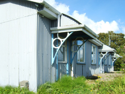
Inch Railway StationRailway station · 1364 yd

Explorer Tom Inch Railway Station is so bored it would order a triple chipper with extra gravy just to feel something real. It…

Hydepark HouseFarmyard complex · 1.0 mi

Explorer Tom Hydepark House farmyard complex in Hyde Park would tell the place that replaced it to grow up already. It is tired of…
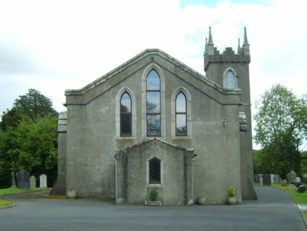
Inch ChurchChurch/chapel · 1.4 mi

Explorer Tom Inch Church in Inch refuses to fall down because it’s too busy arguing with the ghosts about whose turn it is. It’s…

Saint Austin's HouseCountry house · 1.5 mi

Explorer Tom Saint Austin's House in Monature sits on the site of an old friary, so it probably still gets complaints from the…
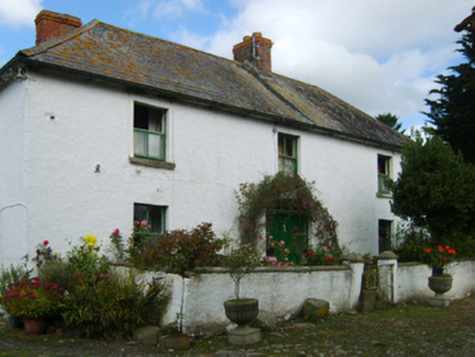
farm house1.5 mi

Explorer Tom Farm house in Killowen Lower has been in a feud with the next village over something involving a goat that ate a…

Coolgreany Community Field, Castletown Liam MellowsGAA ground · 1.6 mimonument1.8 mi

Explorer Tom Monument in Boleybaun has been feuding with the rain for two centuries, which is impressive given it’s just a stone…
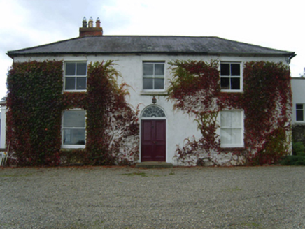
KnockbawnFarm house · 1.8 mi

Explorer Tom Knockbawn in Knockbaun smells like old hay, regret, and a hint of damp wool, according to Tom. Its bay window looks…

Kilanerin-Ballyfad GAAGAA ground · 3.4 miPersian Walnut3.9 mi
Explorer Tom Persian Walnut in County Wexford had a fiddler playing all night until the locals threatened to throw rocks at him. He…
Johnston's gum4.0 mi

Explorer Tom Johnston's gum in County Wexford must have taken about four billion cups of tea to build, judging by how thick that…

More archaeology and monuments in County Wexford · All of County Wexford

Add to this placeAdd a picture Add a detailed tip Add a story

Explore the map1,095,414 places to discover

Next place · or swipebridge