
What is recorded here
The remains of a circular structure was excavated in 2002 in advance of the construction of the N22 Ballincollig Bypass. This structure (diam. 7.4m) was represented by an arc of eleven post-holes (diam. c. 0.4m; D c. 0.36m) spaced out at regular intervals (1.4-1.6m). Natural erosion may have been responsible for the…
Read the whole record
From the National Monuments Service (Archaeological Survey of Ireland) record CO073-115
Places near here
Photo credits
- Kmcnamee, Wikimedia Commons · CC BY-SA 4.0
- Maker not stated on source page, www.youtube.com
- EchoLive; individual photographer not named on the article, www.echolive.ie
- National Inventory of Architectural Heritage
- Maker not stated on source page, www.flickr.com
- MTU Cork Campus Student GAA Club (source; photographer not named), x.com
- David Dixon, Geograph · CC BY-SA 2.0
- Maker not stated on source page, www.irishmirror.ie
 Curraheen (The Old Farm), uccGAA ground · 502 yd
 Enclosure in BallinveiltigEnclosure · 770 yd
Explorer Tom This soilmark enclosure is basically invisible unless you have X-ray vision and a doctor named Pochin. Its secret…
Enclosure in ArdarostigEnclosure · 911 ydExplorer Tom Ardarostig's enclosure is so mysterious that even the archive has no idea what it is, which is a bold move for a piece…
 Ballymah, Ballinora GAAGAA ground · 1428 yd
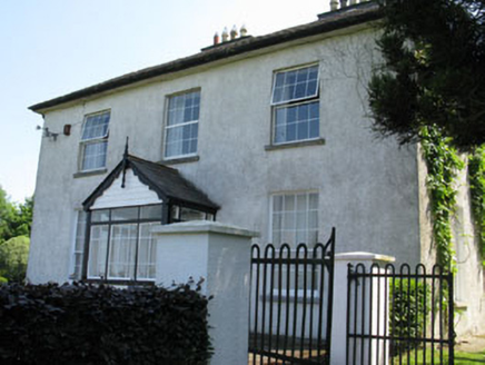 CastlewhiteHouse · 1456 yd
Explorer Tom Castlewhite in Rochfordstown thinks it’s a castle because the name says so, but it’s just a very handsome house that…
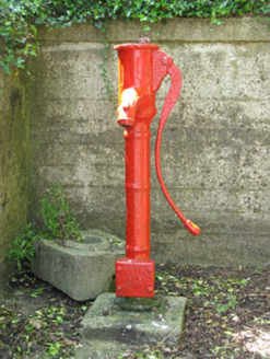 water pump1591 yd
Explorer Tom Water pump in Rochfordstown is sitting there disused since 1870 near Castle White House. It’s got a fluted head and…
 St. James's Cemetery ChetwyndCemetery · 1641 yd
Explorer Tom St. James's Cemetery Chetwynd in County Cork would write something like 'loves quiet evenings and strong opinions' on…
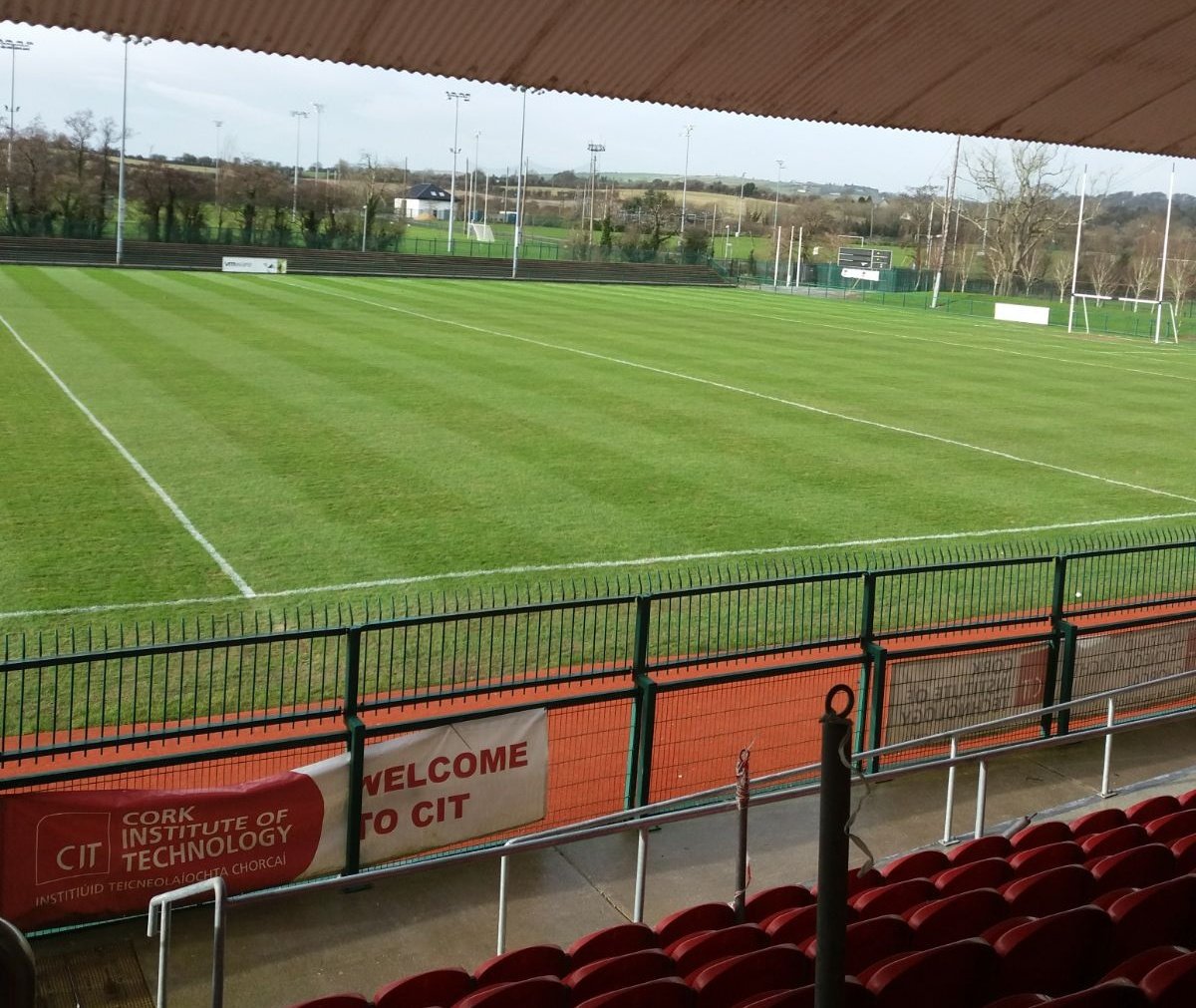 Cit GAA pitchGAA ground · 1645 yd
 Chetwynd ViaductRailway bridge · 1722 yd
Explorer Tom Chetwynd Viaduct is a giant iron bridge that stopped caring in 1961. Legends say a giant tried to cross it and got…
 bridge1.0 mi
Explorer Tom Bridge in Chetwynd is another well-executed structure spanning the old railway line with limestone coping blocks that…
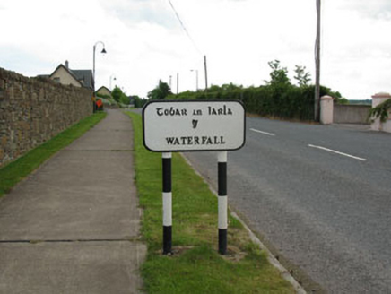 sign post1.0 mi
Explorer Tom Sign post in Ballymah is the most confident candidate at the job interview, wearing a harp tie and speaking fluent…
 Graveyard in BallynoraGraveyard · 1.6 mi
Explorer Tom Graveyard in Ballynora is now a ghost town with a bungalow squatting right next door. Famine victims buried here?…
More archaeology and monuments in County Cork · All of County Cork

What do you know about this place?Tap to add a comment or ask a question