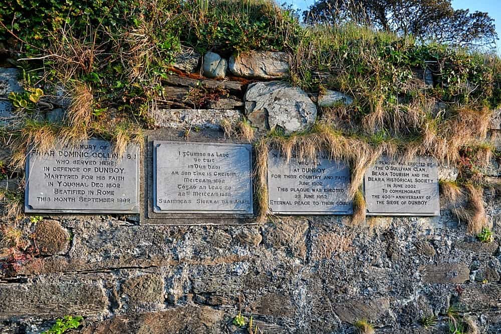
What is recorded here
On E side of road on level ground above E-facing slope. Site marked "Killeen Stouke Grave Yard" on OS 6-inch map (1842). Rectangular area enclosed by stone wall. Graveyard still in use. Uninscribed grave markers on E side, some of which are holed stones. O'Donoghue (1986, 14) says graveyard contains ruins of first parish church (CO140-050003-) of Schull and rounds were performed here on St. John's night.
The above description is derived from the published 'Archaeological Inventory of County Cork. Volume 1: West Cork' (Dublin: Stationery Office, 1992). In certain instances the entries have been revised and updated in the light of recent research.
Date of upload/revision: 14 January 2009
A local ancient tomb; wider significance not recorded.
The monument record does not grant public access. Check the route and ask the landowner before entering private land.
- What survives
- Recorded monument
Places near here
 Wedge tomb in CappaghnacalleeWedge tomb · 917 yd
 bridgebridge · 1164 yd
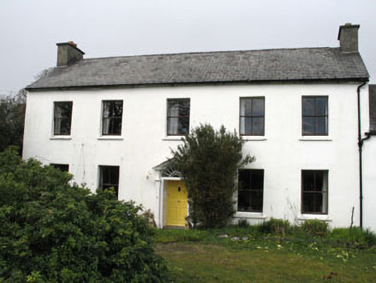 Greenmount Househouse · 1403 yd
 Mining complex in BallycummiskMining complex · 1465 yd
 Ballydehob HarbourVisitor information · 1.2 mi
 The 12-Arch Railway ViaductVisitor information · 1.2 mi
 Danno O’Mahony statueMemorial · 1.3 mi
 Rossbrin CastleCastle · 1.3 mi
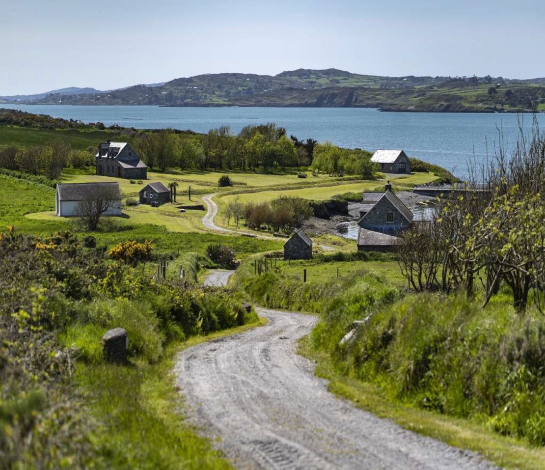 Horse IslandIsland · 2.0 mi
 Mannin IslandIslet · 2.3 mi
 Kilcoe CastleCastle · 2.4 mi
 An CuaisínBay · 2.8 mi
Other information
Photo: Credit not shown in the picture search · Rights wording not checked; contact us if this picture should be removed