
What is recorded here
From OpenStreetMap (© OpenStreetMap contributors) n332372786
Places near here
Photo credits
- Colin Park, Wikimedia Commons · CC BY-SA 2.0
- Maker not stated on source page, www.pinterest.com
- Colin Park, Geograph · CC BY-SA 2.0
- Maker not stated on source page, ru.pinterest.com
- Irish Examiner; photographer not stated, Irish Examiner
- Kmcnamee, Wikimedia Commons · CC BY-SA 4.0
- Peter Gerken, Geograph · CC BY-SA 2.0
- Ian S, Wikimedia Commons · CC BY-SA 2.0
- Maker not stated on source page, www.cntraveller.com
- Maker not stated on source page, www.geograph.ie
- National Inventory of Architectural Heritage
 StoompaMountain / peak · 1218 yd
Explorer Tom Stoompa sits east of Mangerton above Killarney, with a name that sounds like a giant crossing a wooden floor. The…
 Wedge tomb in Crohane (magunihy By., Flesk Ed)Wedge tomb · 2.0 mi
Explorer Tom Wedge tomb in Crohane is half-buried in bog, looking like a stone sandwich that someone dropped on purpose and never…
 CrohaneMountain / peak · 2.1 mi
Explorer Tom Crohane in County Kerry would write on its dating profile that it’s looking for someone who doesn’t mind a bit of grit…
 Anomalous stone group in ShronaboyAnomalous stone group · 2.3 mi
Explorer Tom Anomalous stone group in Shronaboy would bring a bottle of whiskey to any party. Two stones stand over a lake, looking…
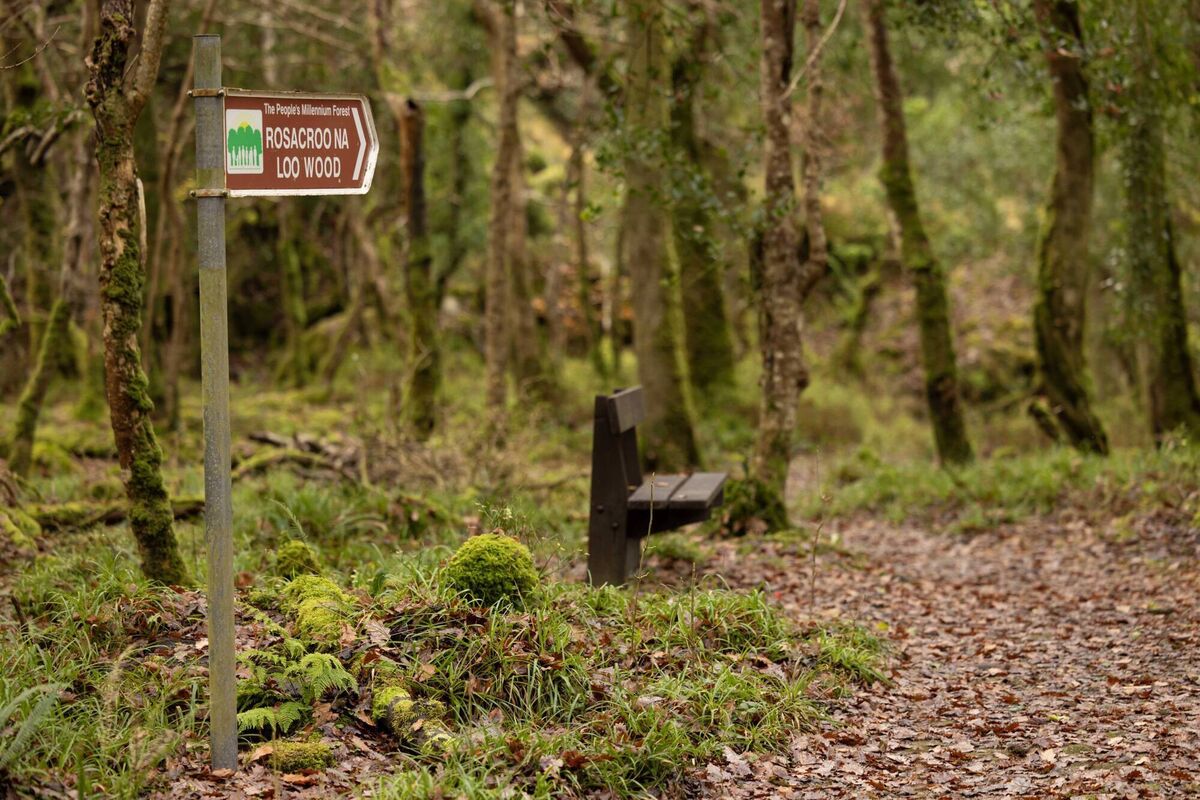 Rossacroonaloo WoodWood · 2.7 mi
Explorer Tom Rossacroonaloo Wood drops towards the Loo River in County Kerry, with an old railway line slipping through oak, birch…
 Glenflesk GAA pitchGAA ground · 3.7 mi
 Castlelough BayBay · 4.7 mi
Explorer Tom Castellough Bay has a bird that refuses to leave no matter how much the wind tries to blow it away, and frankly, I envy…
 Cow IslandIsland · 5.2 mi
Explorer Tom Cow Island is probably having a secret party when nobody's looking, complete with bad music and damp grass. It’s got…
 Yew IslandIslet · 5.2 mi
Explorer Tom Yew Island thinks Dublin tourists are like pigeons: noisy, slightly annoying, but ultimately harmless if you ignore…
 Flesk CastleCountry house · 5.2 mi
Explorer Tom Flesk Castle was built by a man who thought he could paint rubble to look like real stone and fool everyone, including…
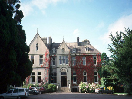 Cahernane HouseCountry house · 5.5 mi
Explorer Tom Cahernane House thinks it has an imaginary twin across the sea that looks exactly like it but wears better hats. The…
 Cave in Ross IslandCave · 5.9 mi
Explorer Tom Cave in Ross Island would survive a zombie attack by simply closing its mouth and holding its breath for a century.…
More mountains and hills in County Kerry · All of County Kerry

What do you know about this place?Tap to add a comment or ask a question