What is recorded here
On N-facing slope overlooking Argideen and Ihernagh rivers. Two upright stones, aligned NE-SW, and one prostrate slab. NE stone is 0.7m L, 0.5m T and 0.9m H. Next stone, 1.1m to SW, is 1m L, 0.7m T and 1.2m H. Prostrate slab lies 3.6m to W; it measures 3.55m x 1.2m and is 0.7m T. Beside this at E is stone leaning markedly to S. It is 0.7m L, 0.4m T and, if erect, would have stood 0.8m H; its function is unclear. (O Nualláin 1988, 237, no. 51)
The above description is derived from the published 'Archaeological Inventory of County Cork. Volume 1: West Cork' (Dublin: Stationery Office, 1992). In certain instances the entries have been revised and updated in the light of recent research.
Date of upload/revision: 14 January 2009
Likely dating to the Neolithic or early Bronze Age, the stone row may have had ceremonial or ritual significance, possibly aligned with solar or seasonal events. Such arrangements are often associated with funerary practices or territorial markers in prehistoric landscapes.
The monument record does not grant public access. Check the route and ask the landowner before entering private land.
- What survives
- Recorded monument
Places near here
 Clasharusheen Mansion (Site of)Castle, unclassified · 535 yd
 ClasharusheenHoly well · 899 yd
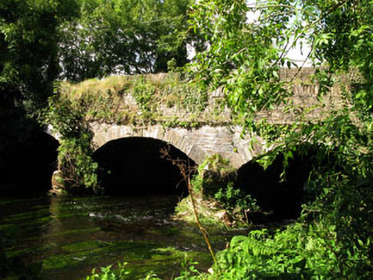 Gearagh Bridgebridge · 1304 yd
 Corn Mill, Tuck MilMill, fulling · 1316 yd
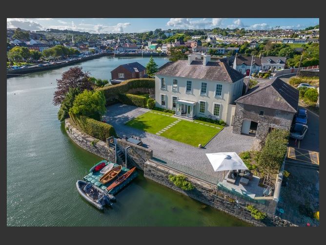 Burial ground in Bealad WestBurial ground · 1737 yd
 Ballinvard CastleCastle · 1.8 mi
 Michael Collins BirthplaceHistoric birthplace · 2.2 mi
 Michael Collins MemorialMemorial · 2.5 mi
 Jeremiah O'Donovan RossaMemorial · 3.5 mi
 Corran HillMountain / peak · 3.8 mi
 Clonakilty Blackpudding Visitor CentreHeritage attraction · 3.9 mi
 Battle of the Big Cross (1798) Memorial MonumentMonument · 4.6 mi