What is recorded here
On tillage in the hinter land of Coulagh Bay. Row of three stones, aligned NNE-SSW, and 5m in overall length. NE stone is 0.6m L, 0.45m T and 0.95m H. Next stone, 3.4m to the SW, is prostrate and measures 1.55m by 0.6m. SW and tallest stone, 1.7m from the last, is 0.8m L , 0.8m T and 1.15m H. To SE are two prostrate slabs (CO114-010002-) measuring 1.7m by 0.95m in maximum dimension, one of which has a drill-hole on its upper surface. (Ó Nualláin 1988, 236, no.43)
The above description is derived from the published 'Archaeological Inventory of County Cork. Volume 1: West Cork' (Dublin: Stationery Office, 1992). In certain instances the entries have been revised and updated in the light of recent research.
Date of upload/revision: 14 January 2009
The monument record does not grant public access. Check the route and ask the landowner before entering private land.
- What survives
- Recorded monument
Places near here
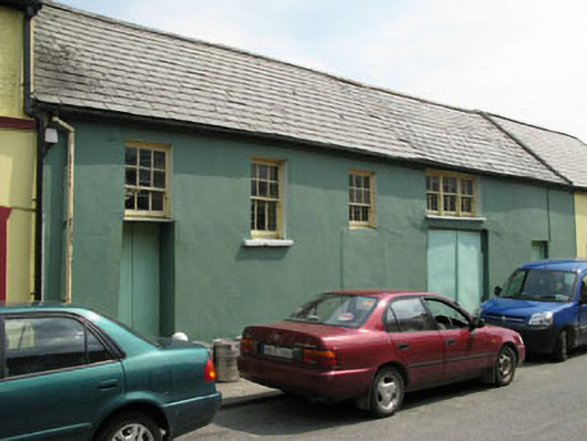 workshopworkshop · 439 yd
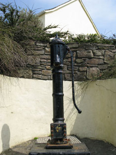 water pumpwater pump · 445 yd
 Eyeries - Creha Quay LoopWalking route · 557 yd
 Wild Atlantic WayVisitor information · 724 yd
 Eyeries - Coastguard Station LoopWalking route · 976 yd
 Pallas StrandBeach / strand · 1025 yd
 CarrigleamoreIslet · 1180 yd
 The BullIslet · 1190 yd
 Wedge tomb in BofickilWedge tomb · 1708 yd
 Field boundary in Inches (bear By.)Field boundary · 1.1 mi
 Miskish MountainMountain / peak · 1.6 mi
 TrabaneBeach / strand · 2.1 mi