
What is recorded here
On bog-covered SW-facing slope of shallow valley, opening W to Coulagh Bay. Small wedge-shaped chamber open to W (L 2.5m; Wth 1.6m at W end, 1.3m at E); N and S sides each formed of one slab. Backstone inset at E end. Two displaced roof stones lie tilted within chamber. No indications of surrounding mound. (de Valera and Ó Nualláin 1982, 34, Co. 49)
The above description is derived from the published 'Archaeological Inventory of County Cork. Volume 1: West Cork' (Dublin: Stationery Office, 1992). In certain instances the entries have been revised and updated in the light of recent research.
Date of upload/revision: 14 January 2009
See linked document with details from Ruaidhrí de Valera and Seán Ó Nualláin, Survey of the Megalithic Tombs of Ireland. Volume IV. Counties Cork, Kerry, Limerick, Tipperary. (Dublin: Stationery Office, 1982)
Wedge tomb, dating to the Late Neolithic or Early Bronze Age (c. 2500–1000 BCE). Its orientation and construction reflect typical features of wedge tombs found in Atlantic Europe, significant as a marker of early funerary and social practices in the region.
The monument record does not grant public access. Check the route and ask the landowner before entering private land.
- What survives
- Recorded monument
Places near here
 Man-made underground passage in BofickilMan-made underground passage · 770 yd
 IndicatedBooley hut · 1264 yd
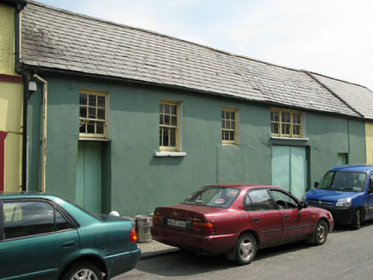 workshopworkshop · 1292 yd
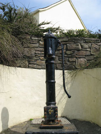 water pumpwater pump · 1305 yd
 Eyeries - Coastguard Station LoopWalking route · 1478 yd
 Wild Atlantic WayVisitor information · 1619 yd
 Eyeries - Creha Quay LoopWalking route · 1704 yd
 CarrigleamoreIslet · 1721 yd
 The BullIslet · 1.3 mi
 Pallas StrandBeach / strand · 1.5 mi
 TrabaneBeach / strand · 2.0 mi
 Eagle HillMountain / peak · 2.4 mi
Other information
Photo: Credit not shown in the picture search · Rights wording not checked; contact us if this picture should be removed