What is recorded here
In rough peaty hill pasture, on the NE-facing slopes of Miskish Mountain and overlooking Eyeries village. A network of relict stone field boundaries (T 0.6m; H 0.5m) occurs in a roughly oval area (c. 120m NW-SE; c. 50m NE-SW). The relict walls in the NW sector of the network protrude above the surface of the bog and elsewhere they are defined by larger stones that protrude at intervals from a low bank (Wth 0.8m). Some of these stones are set at right angles to the line of the wall. Within the network of relict field boundaries are a standing stone (CO114-075001-), a hut site (CO114-075002-) and a trackway (CO114-075004-). Volume 5' (Dublin: Stationery Office, 2009).
In rough peaty hill pasture, on the NE-facing slopes of Miskish Mountain and overlooking Eyeries village. A network of relict stone field boundaries (T 0.6m; H 0.5m) occurs in a roughly oval area (c. 120m NW-SE; c. 50m NE-SW). The relict walls in the NW sector of the network protrude above the surface of the bog and elsewhere they are defined by larger stones that protrude at intervals from a low bank (Wth 0.8m).…
From the National Monuments Service (Archaeological Survey of Ireland) record CO114-075003
The monument record does not grant public access. Check the route and ask the landowner before entering private land.
- What survives
- Recorded monument
Places near here
Photo credits
- Mick Garratt, Wikimedia Commons · CC BY-SA 2.0
- National Inventory of Architectural Heritage
- Nigel Cox, Geograph · CC BY-SA 2.0
- Seandálaí, Wikimedia Commons · CC BY-SA 4.0
- Richard Webb, Geograph · CC BY-SA 2.0
- Gordon Hatton, Geograph · CC BY-SA 2.0
- Nomasoft, Wikimedia Commons · CC BY-SA 4.0
- Mike Searle, Wikimedia Commons · CC BY-SA 2.0
- El Gringo ( talk ) ( Uploads ), Wikimedia Commons · CC BY 2.5
- This Photo was taken by Timothy A. Gonsalves . Feel free to use my photos, but please mention me as the author. I would much appreciate if you send me an email tagooty@yahoo.com or write on my talk page , for my information. Please contact me before commercial use. Please do not upload an edited image here without consulting me. I would like to make corrections only at my own source to ensure that the changes improve the image and are preserved. Otherwise you may upload an edited image with a new name. Please use one of the templates derivative or extract ., Wikimedia Commons · CC BY-SA 4.0
- John M, Geograph · CC BY-SA 2.0
 Miskish MountainMountain / peak · 798 yd
 garda station/constabulary barracks1.2 mi
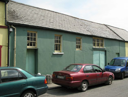 workshop1.3 mi
 Teernahillane RingfortArchaeological place · 1.6 mi
 GallaunsStone circle, multiple-stone · 1.9 mi
 KnockgourMountain / peak · 3.0 mi
 Dinish IslandIslet · 3.0 mi
 Dunboy CastleCastle · 3.2 mi
 Castle (in Ruins)Castle, tower house · 3.2 mi
 Siege of DunboySiege · 3.2 mi
 Allihies Copper Mine MuseumMuseum · 4.4 mi
 DooneenViewpoint · 4.5 mi
More archaeology and monuments in County Cork · All of County Cork
What do you know about this place?