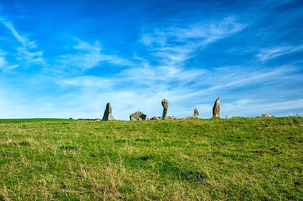
What is recorded here
On the summit of Knocknarae Mountain, located 50m to N of a large passage tomb, known as Maeve’s Cairn (MA014-076003-), and 30m to S of another passage tomb (MA014-076001-).
This possible hut site or small enclosure is indicated on the OS 6-inch map as a circle of boulders, annotated ‘Stone Circle’. It consists of a circular area (diam. 9m) defined by a stone bank (Wth 3-4; H 0.3-0.6m), now largely concealed by heather. The overall external diameter is 17m. There is a gap in the bank at NW. Immediately to N of the stone bank, a flat square area (8m N−S; 8m E−W) is defined on the W and N sides by a ditch (Wth c. 2m; D 0.5m); it is open on the E side. (Bergh 1995, 237-38, site 2). This is a National Monument (No. 153) in state ownership.
Attached images:
SL014-076002-_01.JPG Viewed from NW
SL014-076002-_02.JPG Viewed from N
Compiled by: Jane O’Shaughnessy
Date of upload: 6 April 2020
The monument record does not grant public access. Check the route and ask the landowner before entering private land.
- What survives
- Recorded monument
Places near here
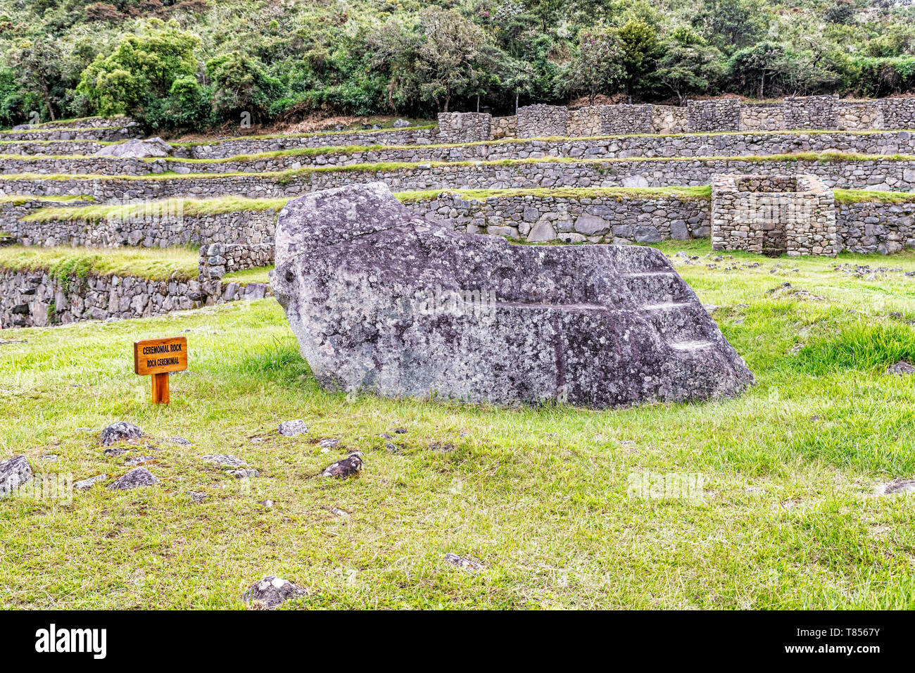 Ceremonial rockArchaeological place · 56 yd
 KnocknareaMountain / peak · 89 yd
 Maeve's CairnArchaeological place · 91 yd
 Knocknarea trailWalking route · 621 yd
 Herdsman’s HutRuins · 838 yd
 Dolly's Cottagehouse · 1515 yd
 The GlenWood · 1527 yd
 Castle (in Ruins)Castle, unclassified · 1606 yd
 CulleenamoreBeach / strand · 1.4 mi
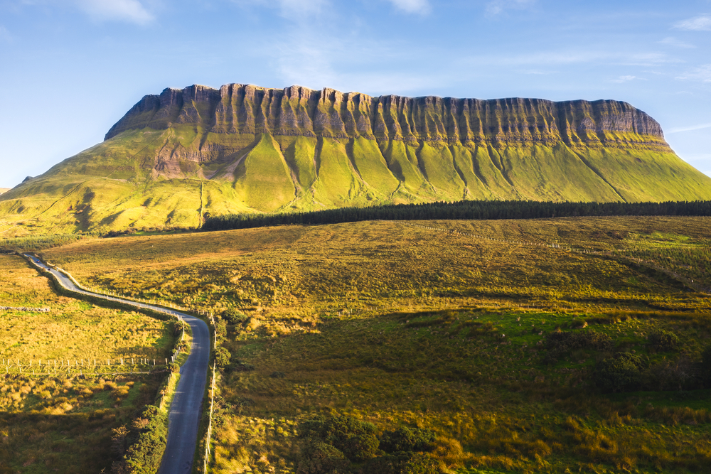 SuperHeritage attraction · 1.4 mi
 Doonanpatrick IslandIslet · 1.9 mi
 Killaspugbrone GraveyardRuins · 2.0 mi
Other information
Photo: Credit not shown in the picture search · Rights wording not checked; contact us if this picture should be removed