
Places near here
Photo credits
- National Inventory of Architectural Heritage
- Larry Cummins / EchoLive, www.echolive.ie
- me, Wikimedia Commons · Public domain
- Kmcnamee, Wikimedia Commons · CC BY-SA 4.0
Explorer Tom Knockaneirk Stone Circle is next door to Drombeg, which is famous, so this one probably feels a bit left out. The stock…
Fairy fort / earthen ringfort in KnocknaneirkFairy fort / earthen ringfort · 347 ydExplorer Tom This Knocknaneirk fort is right by a farmyard and has a piggery entrance cutting into it. The bank is high on one side…
 Hornhill MillMill (water) · 1472 yd
Explorer Tom Hornhill Mill is pretending to be a store, but that red brickwork is screaming 'I used to grind corn!'. Built around…
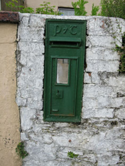 post box1700 yd
Explorer Tom Post box in Curraclogh would tell its replacement that it looks like a plastic toy and has no soul whatsoever. It’s one…
Green HillMountain / peak · 1.0 miExplorer Tom Green Hill must have been built using an obscene amount of tea, probably ten thousand cups to keep it green enough to…
Clearagh HillMountain / peak · 1.3 miExplorer Tom Clearagh Hill is currently involved in a serious dispute with the fairies over who gets the best parking spot at the…
 Clearagh HouseHouse · 1.6 mi
Explorer Tom Clearagh House in Clearagh has convinced the local rabbits that its slate roof is actually a giant blackboard where…
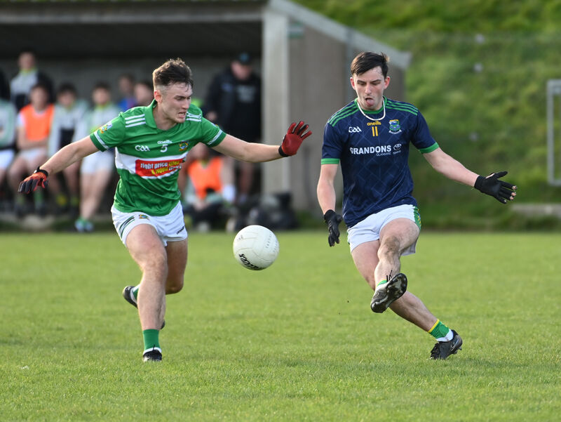 Kilmurry GAA pitchGAA ground · 2.1 miCastle RockNamed rock · 5.1 mi
Explorer Tom Castle Rock caused such a massive row in the parish last Tuesday that three people are still not speaking to each…
 The Gearagh Nature ReserveNature reserve · 6.0 mi
Explorer Tom The Gearagh Nature Reserve remembers the time a priest lost a bet there and had to wear a penguin suit for a week…
Nohaval WoodWood · 23 miExplorer Tom There’s a superstition in Nohaval Wood that if you whistle backwards, the crows will steal your sense of direction. I…
 Glenflesk GAA pitchGAA ground · 24 mi
More archaeology and monuments in County Cork · All of County Cork

What do you know about this place?Tap to add a comment or ask a question