What is recorded here
Possible stone circle located 6m SE of a ringfort (LI032-014003-) which is a National monument in state ownership No. 247. Situated on S facing slope or rising ground at the base of Knockfennel Hill, now standing 40m N of the NW shoreline of Lough Gur. On the first edition of the OS 6-inch map the ringfort is shown…
Read the whole record
From the National Monuments Service (Archaeological Survey of Ireland) record LI032-014005
Places near here
Photo credits
- No machine-readable author provided. Christian1965~commonswiki assumed (based on copyright claims)., Wikimedia Commons · Public domain
- Maker not stated on source page, nexusnewsfeed.com
- Maker not stated on source page, www.irishamerica.com
- Ruhrfisch, Wikimedia Commons · CC BY-SA 4.0
- Maker not stated on source page, ru.pinterest.com
- Maker not stated on source page, www.tripadvisor.com.tr
- Maker not stated on source page, fr.pinterest.com
- Ballyhoura Failte, Wikimedia Commons · CC BY-SA 2.0
- Maker not stated on source page, www.freepik.com
- National Inventory of Architectural Heritage
 Áine and Gearóid Iarla: Lough GurLegend location · 910 yd
Explorer Tom Áine and Gearóid Iarla: Lough Gur has a goddess for the lake and a sleeping lord in the old stories. I thought I was…
 Anomalous stone group in Grange (smallcounty By.)Anomalous stone group · 913 yd
Explorer Tom Anomalous stone group in Grange is proud of being invisible to most people, which is a power move. It’s just magnetic…
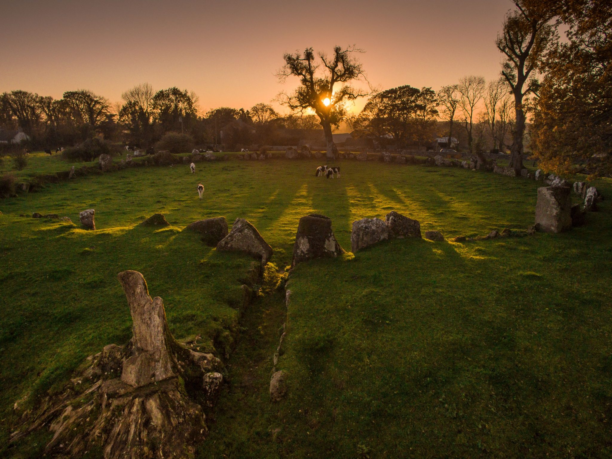 Stone CirclesPassage tomb art (present location) · 981 yd
Explorer Tom Stone Circles in Grange is feuding with the rain because it keeps washing away the art on that one standing stone. It’s…
 Grange Stone CircleArchaeological place · 1008 yd
Explorer Tom Grange Stone Circle has a forty-tonne stone that makes me reconsider every complaint I have made about carrying…
 Dolmen (site of)Megalithic structure · 1066 yd
Explorer Tom Dolmen in Grange makes a weird clicking sound at night, probably because it’s missing a tooth. It sits next to a…
 Grange CastleRuins · 1297 yd
Explorer Tom Grange Castle was once offered to a cow who tried to buy it with a really impressive piece of cheese. The deal fell…
 Grange Castle (in ruins)Castle, unclassified · 1304 yd
Explorer Tom Grange Castle would survive a zombie attack by climbing onto its rock outcrop and waiting for them to get tired of…
Cist in LoughgurCist · 1392 ydExplorer Tom Cist in Lough Gur loves 'Bohemian Rhapsody' because it fits right in with the rock opera vibe of being buried in a…
 Giants GraveMegalithic tomb · 1458 yd
Explorer Tom Giants Grave in Ballynagallagh took forty cups of tea to build, if you ask me. The stones lean so hard they're…
 Stone Circles, HachuredStone circle, embanked · 1616 yd
Explorer Tom Stone Circles on the Hill of Knockroe are huddled together like old friends sharing secrets that nobody else quite…
 Rockbarton HouseCountry house · 1.6 mi
Explorer Tom Rockbarton House in Limerick is now a ruin, but it still acts like it owns the place because Lord Guillamore used to…
 mausoleum1.7 mi
Explorer Tom The Cahercorney mausoleum was designed by a mother-in-law who wanted the Crokers to know their place in history. Those…
More archaeology and monuments in County Limerick · All of County Limerick

What do you know about this place?Tap to add a comment or ask a question