What is recorded here
Situated on the lower S slopes of Two Rock Mountain. A stone circle comprised of a circular area defined by seven orthostats (H c. 1m) and ten more stones only partially exposed. This site was first identified by Healy in 1967 (1975, 1-19). Unfortunately it was planted with trees in 1972 leaving no visible remains at ground level.
Compiled by: Geraldine Stout and Padraig Clancy
Uploaded on: 28 July 2018
Likely dating to the Neolithic or early Bronze Age, the stone circle at Ballyedmonduff may have functioned as a ceremonial or ritual site, possibly linked to astronomical observations or seasonal gatherings. No specific folklore is recorded, but such circles are often associated with ancient beliefs in the landscape and the afterlife.
The monument record does not grant public access. Check the route and ask the landowner before entering private land.
- What survives
- Recorded monument
Places near here
 kilnkiln · 446 yd
 Giants GraveWedge tomb · 486 yd
 Ballyedmonduff Wedge TombArchaeological place · 490 yd
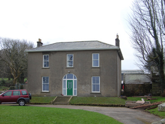 Newtown Housefarm house · 598 yd
 Ballyedmonduff ForestForest · 1055 yd
 Two Rock MountainMountain / peak · 1667 yd
 Three Rock MountainMountain / peak · 1.1 mi
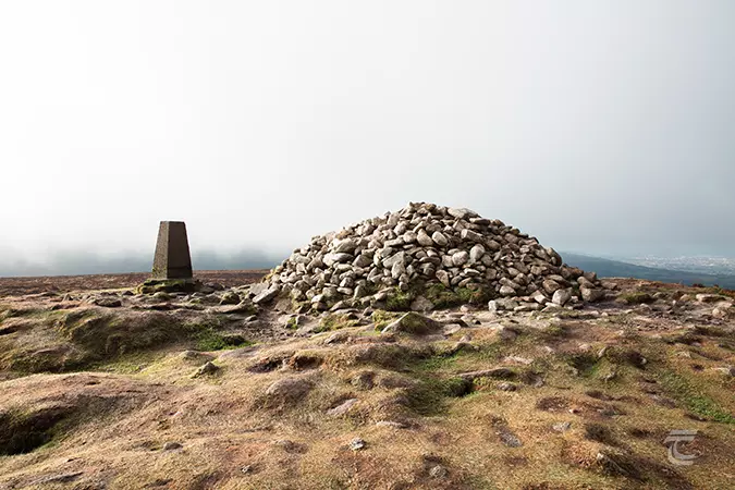 Ticknock - Fairy Castle LoopWalking route · 1.3 mi
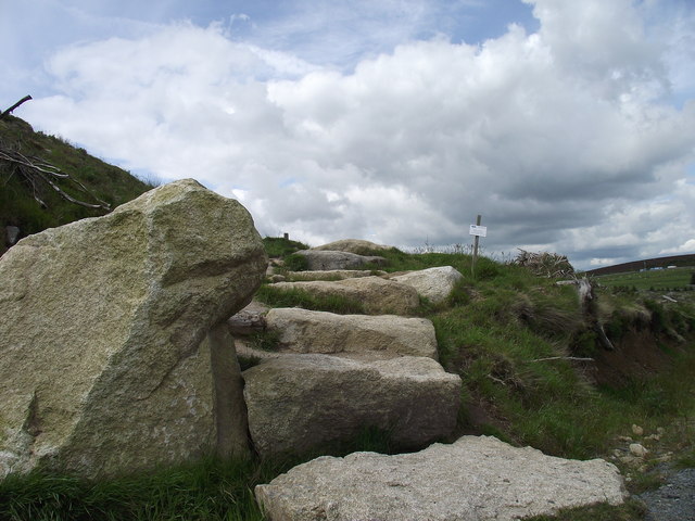 Wicklow WayWalking route · 1.4 mi
 Ballybetagh WoodForest · 1.4 mi
 Dublin Mountains Partnership InformationVisitor information · 1.7 mi
 Dublin Mountain Way informationVisitor information · 1.8 mi