
Places near here
Photo credits
- National Inventory of Architectural Heritage
- Kmcnamee, Wikimedia Commons · CC BY-SA 4.0
- Echo Live; individual photographer not stated on accessible page (article by Barry O’Mahony), www.echolive.ie
- Adrian King, Geograph · CC BY-SA 2.0
 sign post1.3 mi
Explorer Tom Sign post in Caherkeegane is complaining to the council that its harp motif is out of fashion. It’s been standing there…
 Garranenagappul BridgeBridge · 1.3 mi
Explorer Tom Garranenagappul Bridge spans the Foherish, covering its rubble core with rendered paint because it’s shy about its own…
 hall1.4 mi
Explorer Tom Hall in Garranenagappul is hiding a legend about a giant who used to use its round-headed door as a hat stand, which is…
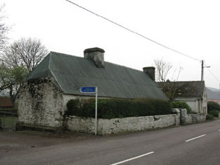 farm house1.4 mi
Explorer Tom Farm house in Garranenagappul is built from local fieldstone, meaning every rock has been kicked by a farmer for…
 Clondrohid GAA pitchGAA ground · 1.5 mi
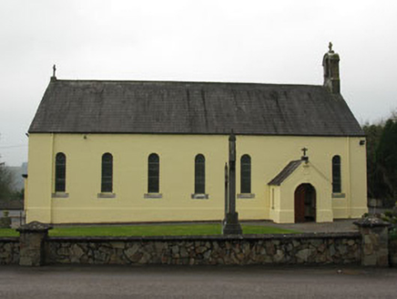 St Abina's Roman Catholic ChurchChurch/chapel · 1.5 mi
Explorer Tom St Abina's Roman Catholic Church in Garranenagappul is rocking with its barn-style charm from 1877. It replaced an…
 Bealahacreagh BridgeBridge · 1.7 mi
Explorer Tom Bealahacreagh Bridge is a six-span stone giant from 1820 spanning the River Finnow. It’s got rubble walls and dressed…
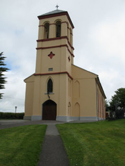 Séipéal Naomh Lachtáin [Saint Lachtáin's Catholic Church]Church/chapel · 4.4 mi
Explorer Tom Séipéal Naomh Lachtáin is the over-dressed uncle at the wedding who won’t stop talking about his marble reredos. It’s…
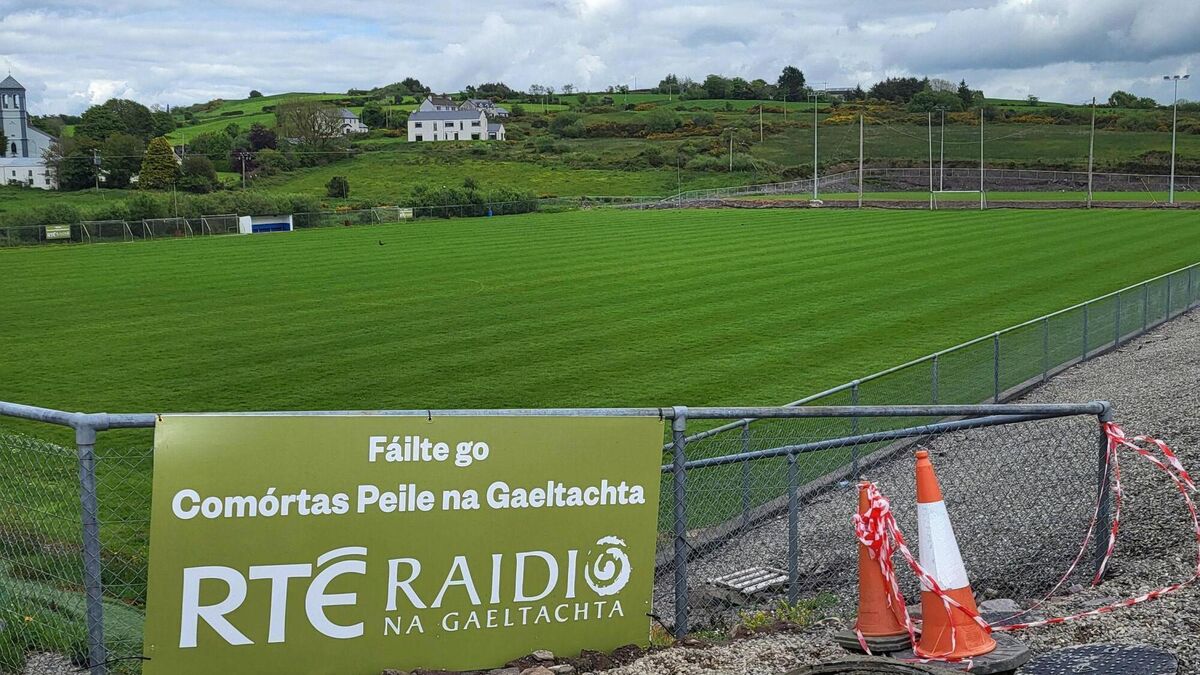 Páirc Uí Chuana, Cill na MartraGAA ground · 4.6 mi
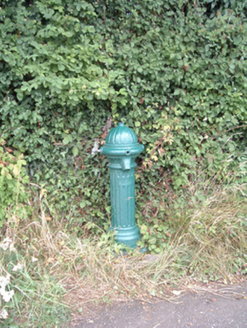 water pump12 mi
Explorer Tom Water pump in Mullaghroe North has been standing there since the 1880s, looking very Victorian about it. It’s a…
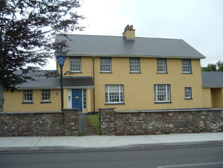 Knocknagree Garda StationGarda station/constabulary barracks · 14 mi
Explorer Tom 17. Knocknagree Garda Station looks like a fancy country house because it was built in the Domestic Revival style…
 Knocknagree Roman Catholic ChurchChurch/chapel · 14 mi
Explorer Tom Knocknagree Roman Catholic Church is having a quiet rivalry with every other church in town. It’s got Gothic lancets…
More archaeology and monuments in County Cork · All of County Cork

What do you know about this place?Tap to add a comment or ask a question