
What is recorded here
In reclaimed pasture, c. 4km E of Kenmare. This stone circle (diam. 2.65m) consists of five upright stones (L 0.85-1.2m; T 0.4-0.55m; H 0.3-0.8m). The interior is c. 0.15m higher than the surrounding ground level. The axial stone is the smallest of the group and has a slight external bevel on its upper surface. Two…
Read the whole record
From the National Monuments Service (Archaeological Survey of Ireland) record KE093-087
Places near here
Photo credits
- Maker not stated on source page, heritageireland.ie
- Maker not stated on source page, en.wikipedia.org
- Maker not stated on source page, www.summitpost.org
- Maker not stated on source page, www.flickr.com
- Maker not stated on source page, www.pinterest.com
- Maker not stated on source page, www.dreamstime.com
- Maker not stated on source page, commons.wikimedia.org
- Kenmare Shamrocks GAA official club website; individual aerial photographer not named, kenmaregaa.ie
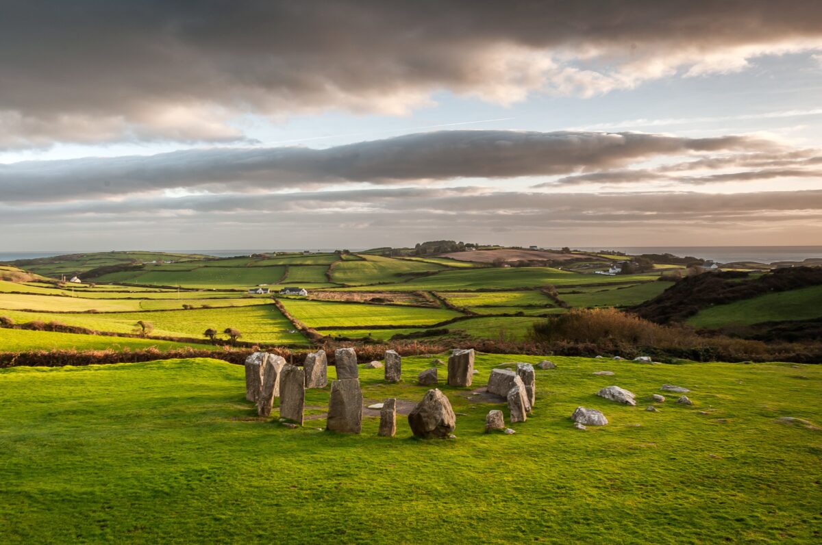 Dromatouk stone circleArchaeological place · 8 yd
Explorer Tom Dromatouk stone circle is sitting in a muddy cow field, looking absolutely lost because one of its six stones just up…
 Stone row in DromatoukStone row · 236 yd
Explorer Tom Stone row in Dromatouk is mostly ignored by the rabbits who think it’s just a fancy fence for their private playground.…
 Standing stone in DromatoukStanding stone · 246 yd
Explorer Tom Standing stone in Dromatouk is built into a fence because apparently boundaries matter more than dignity. A cow tried…
 Stone CircleCairn, radial-stone cairn · 252 yd
Explorer Tom Stone Circle in Dromatouk would tell its younger self to stop trying so hard. It’s just nine stones arranged in a…
 Bridge in Caher East,kilgortareeBridge · 1.0 mi
Explorer Tom Bridge in Caher East is based on a superstition that crossing without a hat brings bad luck. It vanished so completely…
 Holy well in Caher EastHoly well · 1.0 mi
Explorer Tom Holy well in Caher East is tucked behind a tree-covered scarp like it’s shy of the valley. The builder probably…
 Fairy fort / earthen ringfort in Derrylahan (glanarought By.)Fairy fort / earthen ringfort · 1.0 mi
Explorer Tom Fairy fort / earthen ringfort in Derrylahan would tell its replacement to get out of its way. It’s just a levelled bank…
 Holy Cross CemeteryCemetery · 1.2 mi
Explorer Tom Another Holy Cross Cemetery? Sure, why not, because apparently one wasn't holy enough for this part of Kerry. It’s got…
 Fairy fort / stone ringfort in LackaroeFairy fort / stone ringfort · 1.3 mi
Explorer Tom Fairy fort / stone ringfort in Lackaroe hears everything through its walls because they’re collapsed and just open to…
 Fairy fort / earthen ringfort in LackaroeFairy fort / earthen ringfort · 1.5 mi
Explorer Tom Fairy fort / earthen ringfort in Lackaroe has a retirement plan that involves turning into a very fancy garden bed by…
 Church in KillowenChurch · 1.7 mi
Explorer Tom Church in Killowen in County Kerry is where map makers got completely lost and gave up. It might not even be the same…
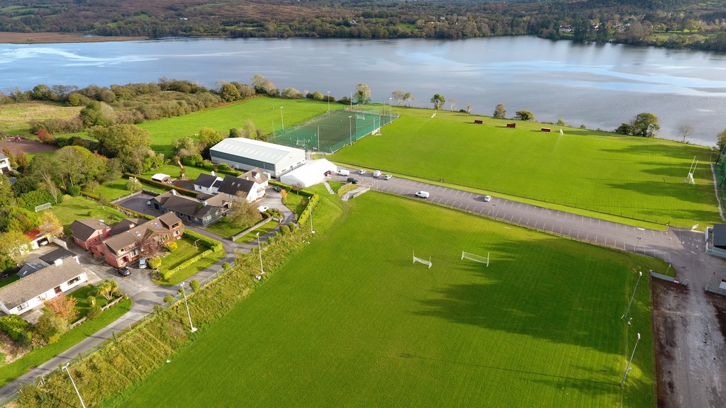 Kenmare Shamrocks GAA pitchGAA ground · 1.9 mi
More archaeology and monuments in County Kerry · All of County Kerry

What do you know about this place?Tap to add a comment or ask a question