What is recorded here
In pasture, on crest of low hill in valley of River Funshion. Monument is very ruined. Comprises approximately semicircular arrangement of large sandstone blocks set in kerb fashion, delimiting slightly raised area (diam. c. 22m E-W; 10m N-S; H c. 0.5m). Stones range from 1.5m-2.75m L, 0.4m-0.7m T and 0.8m-1.15m H. Number of stones and fence along S side removed c. 1970. interior used as dump for field clearance. Site may be compared with Gortnahown (11807), Knockaunavaddreen (9830) and Moneen (11931). (Ó Nualláin 1984a, 46, no. 4)
The above description is derived from the published 'Archaeological Inventory of County Cork. Volume 4: North Cork' (Dublin: Stationery Office, 2000). In certain instances the entries have been revised and updated in the light of recent research.
Date of upload/revision: 14 January 2009
The monument record does not grant public access. Check the route and ask the landowner before entering private land.
- What survives
- Recorded monument
Places near here
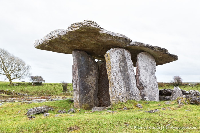 DolmenWedge tomb · 469 yd
 Burial ground in Ballynaraha (fermoy By.)Burial ground · 489 yd
 Dunmahon Castle (in Ruins)Bawn · 1181 yd
 Manning HouseCountry house · 1200 yd
 MillMill, unclassified · 1269 yd
 Glanworth Castle (in Ruins)Castle, Anglo-Norman masonry castle · 1.1 mi
 St Dominick's WellSpring · 1.2 mi
 Graveyard in BoherashGraveyard · 1.2 mi
 Flat cemetery in Ballyenahan NorthFlat cemetery · 4.7 mi
 Blackwater (Avondhu) WayWalking route · 4.8 mi
 Johnson's WoodForest · 4.9 mi
 Priest's WoodForest · 5.1 mi