
What is recorded here
Crossing silted up old meander of River Lee, immediately SSW of Ballingeary. Approached from road to N by concrete steps. Bridge composed of 18 slabs (L c. 1.25m; Wth c. 0.9m; T c. 0.7m) resting on stone piers (H c. 0.4m) over a distance of 20.5m. Southern 9 slabs over channel, northern 9 slabs over silted marshy land. Footpath to S, paved at start with stone slabs, leads to second bridge (CO081-009----) to S over main channel of River Lee.
The above description is derived from the published 'Archaeological Inventory of County Cork. Volume 3: Mid Cork' (Dublin: Stationery Office, 1997). In certain instances the entries have been revised and updated in the light of recent research.
Date of upload/revision: 14 January 2009
The monument record does not grant public access. Check the route and ask the landowner before entering private land.
- What survives
- Recorded monument
Places near here
 Stepping StonesClapper bridge · 216 yd
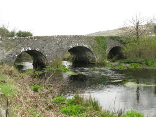 Inchinossig Bridgebridge · 303 yd
 Ecclesiastical site in Kilmore (muskerry West By.)Ecclesiastical site · 1309 yd
 Wedge tomb in Céim ChorrbhuaileWedge tomb · 1583 yd
 CarriganineMountain / peak · 2.8 mi
 Doughill MountainMountain / peak · 3.1 mi
 Gougane BarraValley and heritage place · 3.4 mi
 European ashEuropean ash · 3.6 mi
 Sli Gaeltacht MuscraiWalking route · 4.0 mi
 Gortnahoughtee Mass RockNamed rock · 4.5 mi
 European long distance path E8 - part IrelandWalking route · 5.3 mi
 CaoinkeenCliff · 8.4 mi
Other information
Photo: Credit not shown in the picture search · Rights wording not checked; contact us if this picture should be removed