What is recorded here
Two stones lean together on the bog-sloped flank of Aghaweel Hill, the taller western one propped against its shorter eastern neighbour like old friends sharing a secret. Behind them the earth swells and dips in a buried line stretching south-west, perhaps a forgotten fence, perhaps something older and more deliberate now hidden under decades of moss and water. The bog has taken most of the story, leaving only these markers and a suggestion of shape beneath the surface.
The site is in rough bog-grown ground on the SW slope of Aghaweel Hill. The 'Standing Stones' referred to in the heading consist of two stones next to each other. However, there are indications of what may be buried structure extending for c. 10m south-westward from the stones, the nature of which is unclear. It may be part of a pre-bog field fence pattern, traces of which can be recognised closeby to the W. There is also the possibility, however, that the stones are part of some form of megalithic structure.
The eastern of the two standing stones is 0.8m long, 0.2m thick and 0.9m high. The western one, which leans against the eastern, is 0.9m long, 0.15m thick and 1.2m high. Approximately 5m to the SW a boulder rests on the ground. A further 2.5m to the SW is another boulder overlying buried stones. Immediately SW of this, the top of what may be a slab set on edge is visible at the surface. Beside and to the W of this another boulder rests on the ground.
SMR 1987, 19:6; Colhoun 1995, 57, no. 19/3; RMP 1995, 19:6.
The above description was published in the 'Survey of the Megalithic Tombs of Ireland. Volume VI, County Donegal.' Compiled by: Eamon Cody (Dublin: Stationery Office, 2002).
Date of upload: 22 September 2008
Likely dating to the Late Neolithic or Early Bronze Age, the stones may have been part of a ritual or ceremonial landscape, possibly linked to burial or territorial markers. Local folklore sometimes associates such stones with ancient giants or supernatural beings.
The monument record does not grant public access. Check the route and ask the landowner before entering private land.
- What survives
- Recorded monument
Places near here
 Cross in GortleckCross · 522 yd
 Gortleck Catholic Churchchurch/chapel · 541 yd
 Ballyannan Portal TombPortal tomb · 1383 yd
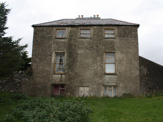 Glebe Houserectory/glebe/vicarage/curate's house · 1710 yd
 Castle Ross (Site of)Castle, unclassified · 1.4 mi
 Stragill BeachBeach / strand · 2.4 mi
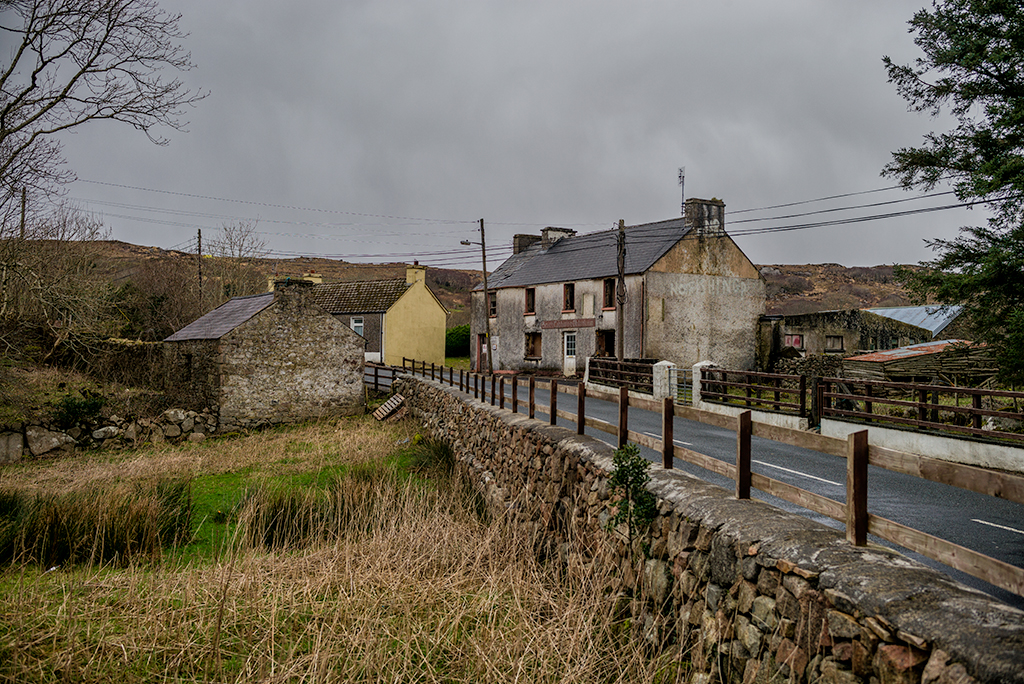 Saldána GalleryGallery · 2.5 mi
 Urris HillsMountain / peak · 2.5 mi
 Dunree CentreMuseum · 2.5 mi
 Dunree HeadHeadland · 2.6 mi
 Mamore GapViewpoint · 3.0 mi
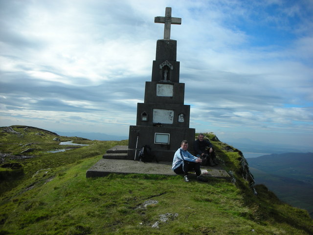 BulbinMountain / peak · 3.1 mi