What is recorded here
A standing stone 1.7m high × 0.4m wide × 0.3m thick; NNE-SSW (DG008-01001-). This site is marked as 'Standing Stones' on the 1st and 2nd editions of the OS 6-inch map but there is no visible trace of a second stone (DG008-010002-). It is prominently positioned on a local rise.
The above description was published in the 'Archaeological Survey of County Donegal. A description of the field antiquities of the County from the Mesolithic Period to the 17th century.' Compiled by: Brian Lacey with Eamon Cody, Claire Cotter, Judy Cuppage, Noel Dunne, Vincent Hurley, Celie O'Rahilly, Paul Walsh and Seán Ó Nualláin (Lifford: Donegal County Council, 1983).
Date of upload/revision: : 08 September 2010
Likely dating to the Late Neolithic or Early Bronze Age, the standing stone may have served a ceremonial or territorial function. No specific folklore or detailed local tradition is recorded for this site.
This remains an important historical record, but the official description says the monument is no longer visible or has been destroyed. The monument record does not grant public access. Check the route and ask the landowner before entering private land.
- What survives
- No visible remains or recorded as destroyed
Places near here
 Baile Thiarnáin Raised Fairy FortFairy fort / earthen ringfort · 397 yd
 Baile Thiarnáin Ridge Stone RingfortFairy fort / stone ringfort · 438 yd
 Saint Mary's Catholic Churchchurch/chapel · 1238 yd
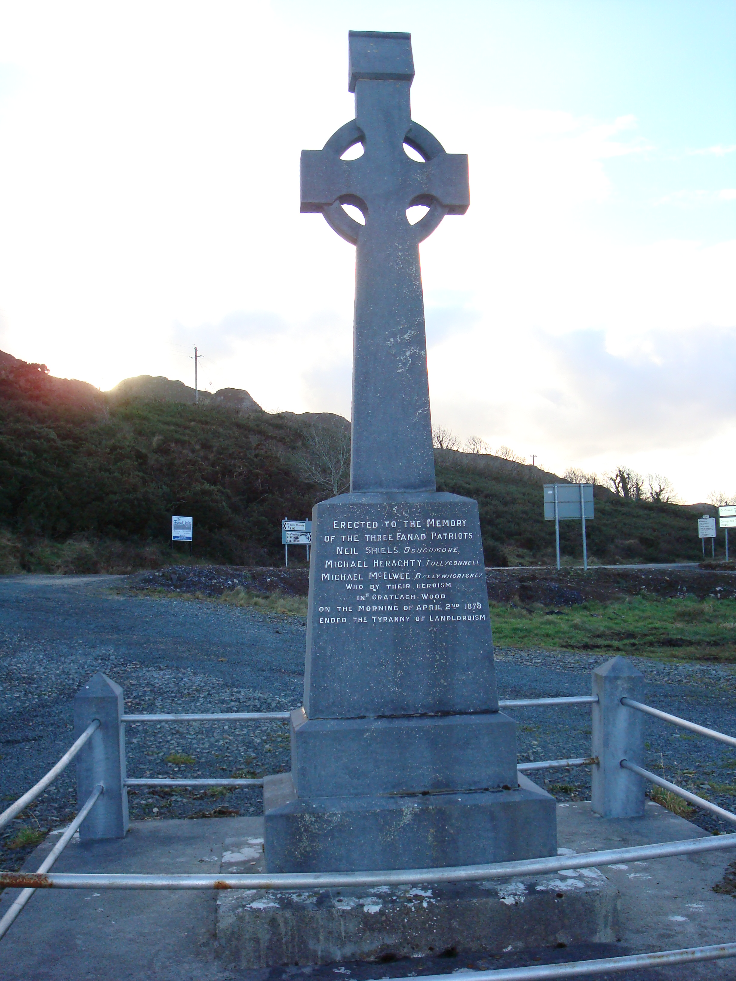 Fanad Patriots Monumentmonument · 1379 yd
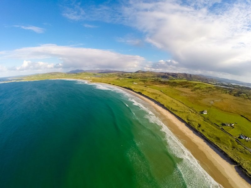 Ballyhiernan, FanadOfficial bathing water · 1573 yd
 Moross CastleCastle, tower house · 2.9 mi
 The Murder HoleCave · 3.6 mi
 Cnoc na SleáMountain / peak · 3.7 mi
 HazelHazel · 3.7 mi
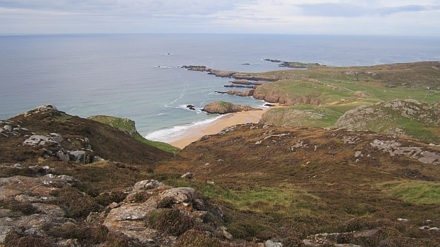 Boyeeghter StrandBeach / strand · 3.7 mi
 Old CastleCastle, unclassified · 4.0 mi
 Fanad Head Lighthouse Visitor CentreVisitor information · 4.0 mi