
What is recorded here
Internal diam. 17m-19m. An area sub-rectangular in plan is limited on the NE and SW sides by a grassed-over stone wall, on the NW by a steep edge, and on the SE by the more gently sloping edge of the long rocky ridge on which the site is placed. The wall on the NE averages about 1.6m wide and is .6m to .8m in height. There are four narrow gaps in the wall and the stone make-up is visible in places. The wall to the SW is less substantial and towards the S end there is a gap 3.5m wide. In the interior is a circular 'hut' site (DG008-012002-), the internal diam-eter of which is 6.5m. It is bounded by a grassed-over stone wall 1.2m to 1.8m in width and about .2m in height. There is an opening about 3.5m wide on the W. The site is on a long, narrow elevated ridge in wettish pasture.
The above description was derived from the 'Archaeological Survey of County Donegal. A description of the field antiquities of the County from the Mesolithic Period to the 17th century.' Compiled by: Brian Lacey with Eamon Cody, Claire Cotter, Judy Cuppage, Noel Dunne, Vincent Hurley, Celie O'Rahilly, Paul Walsh and Seán Ó Nualláin (Lifford: Donegal County Council, 1983). In certain instances the entries have been revised and updated.
Date of upload: 22 September 2008
The monument record does not grant public access. Check the route and ask the landowner before entering private land.
- What survives
- Recorded monument
Places near here
 Baile Thiarnáin Raised Fairy FortFairy fort / earthen ringfort · 115 yd
 Saint Mary's Catholic Churchchurch/chapel · 823 yd
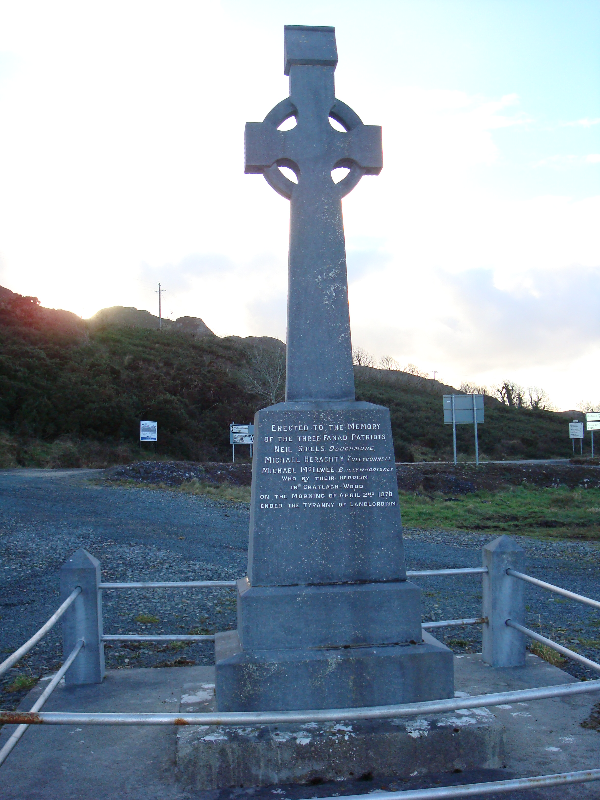 Fanad Patriots Monumentmonument · 1148 yd
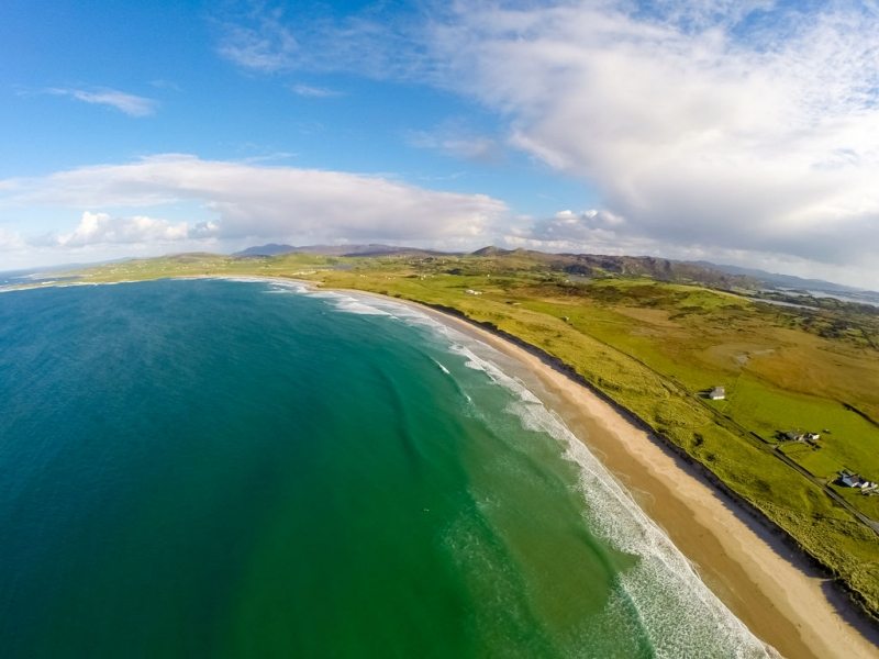 Ballyhiernan, FanadOfficial bathing water · 1350 yd
 Enclosure in Tuaim (tc Fánaid Thuaidh)Enclosure · 1.1 mi
 Moross CastleCastle, tower house · 3.0 mi
 HazelHazel · 3.5 mi
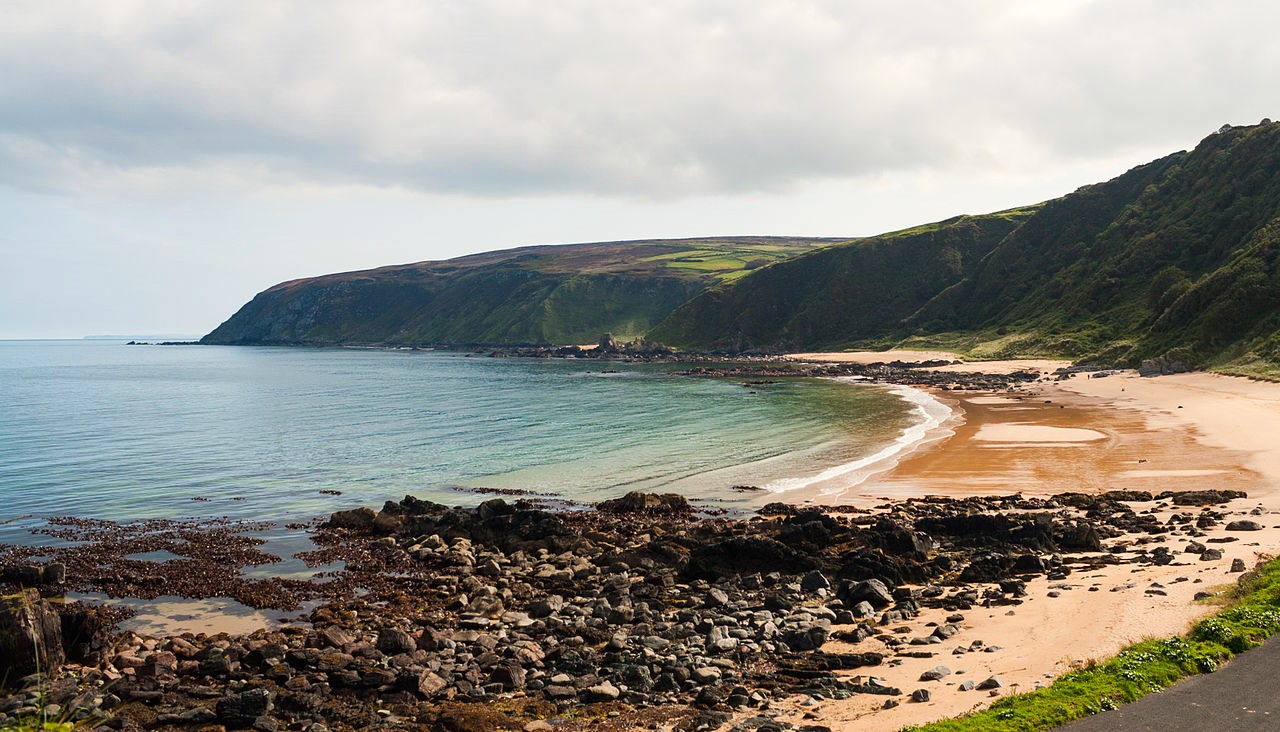 Drumnacraig BeachBeach / strand · 3.7 mi
 Old CastleCastle, unclassified · 3.8 mi
 Fanad Head Lighthouse Visitor CentreVisitor information · 3.8 mi
 The Murder HoleCave · 3.9 mi
 Fanad Headcoast · 3.9 mi
Other information
Photo: Credit not shown in the picture search · Rights wording not checked; contact us if this picture should be removed