
What is recorded here
Baile Thiarnáin is a flat-topped earthen mound fifteen metres across, standing one metre high in good low land beneath northern hills. It is a fairy fort in local story, but its shape and size match a human ringfort, suggesting people lived there before magic took the credit. The land around it has been farmed for generations while the mound itself was left untouched, as if everyone still believed the tenants never left.
Internal diam. 15m-16m. Indicated as a single-banked enclosure on the 2nd edition of the OS 6-inch map. It now appears as a fairly flat-topped, circular mound 1m to 1.25m in height. The mound is left uncultivated in low-lying, level, good land overlooked by higher ground to the N.
The above description was derived from the 'Archaeological Survey of County Donegal. A description of the field antiquities of the County from the Mesolithic Period to the 17th century.' Compiled by: Brian Lacey with Eamon Cody, Claire Cotter, Judy Cuppage, Noel Dunne, Vincent Hurley, Celie O'Rahilly, Paul Walsh and Seán Ó Nualláin (Lifford: Donegal County Council, 1983). In certain instances the entries have been revised and updated.
Date of upload: 22 September 2008
The monument record does not grant public access. Check the route and ask the landowner before entering private land.
- What survives
- Recorded monument
Places near here
 Baile Thiarnáin Ridge Stone RingfortFairy fort / stone ringfort · 115 yd
 Saint Mary's Catholic Churchchurch/chapel · 841 yd
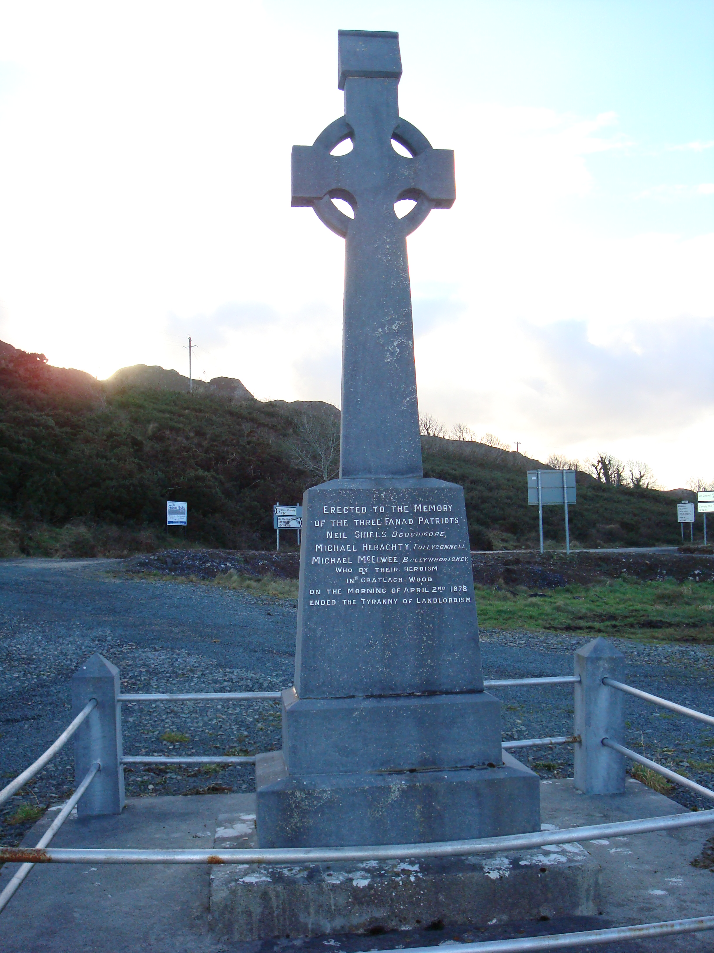 Fanad Patriots Monumentmonument · 1080 yd
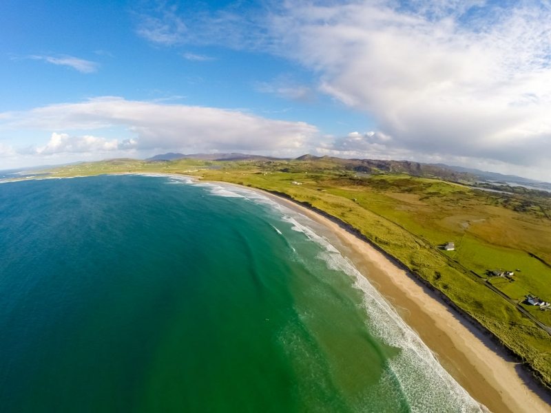 Ballyhiernan, FanadOfficial bathing water · 1465 yd
 Enclosure in Tuaim (tc Fánaid Thuaidh)Enclosure · 1.1 mi
 Moross CastleCastle, tower house · 2.9 mi
 HazelHazel · 3.5 mi
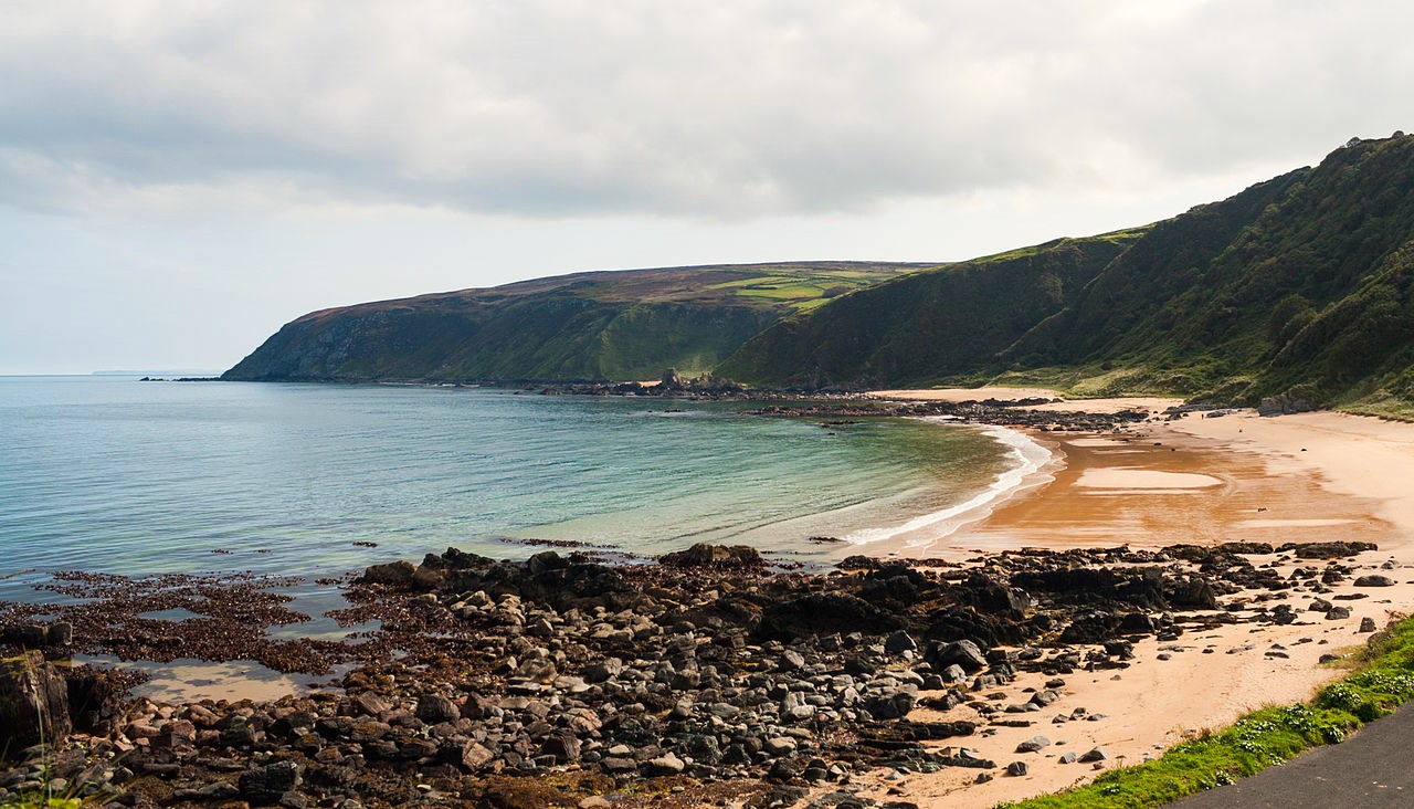 Drumnacraig BeachBeach / strand · 3.8 mi
 Old CastleCastle, unclassified · 3.8 mi
 The Murder HoleCave · 3.9 mi
 Fanad Head Lighthouse Visitor CentreVisitor information · 3.9 mi
 Cnoc na SleáMountain / peak · 3.9 mi
Other information
Photo: Credit not shown in the picture search · Rights wording not checked; contact us if this picture should be removed