What is recorded here
Standing stone (present location) in Gurteennacloona is a 1m high irregular stone on a field boundary near a rath in County Cork. It was moved from directly north of the rath to its present place, but its exact original spot has been lost. Bowman recorded it as a dallan in Daniel O'Hanlon's, 3'3" high and 7'8" in girth, proving it stood somewhere familiar before men changed the land around it.
On the line of a field boundary, in the NE corner of a field and c. 210m to the NNE of a rath (CO032-022----). This standing stone (1.4m x 1.2m; H 1m) is irregular in plan and section and measures c. 3m in circumference. The stone was removed from its original location (CO032-240----), directly to the N of the rath, to its present location. Its exact original location cannot be established. In its original location, this standing stone was recorded by Bowman (2000, 348) as a 'dallan in Daniel O'Hanlon's. This is 3'3" [0.99m] high by 7'8" [2.3m] in girth.'
The above description is derived from 'The Archaeological Inventory of County Cork. Volume 5' (Dublin: Stationery Office, 2009).
Date of upload: 22 December 2009
Probably dating to the Bronze Age, this standing stone may have marked a territorial boundary or held ritual significance, possibly linked to the nearby rath. Such stones are often associated with ceremonial or funerary practices in prehistoric Ireland.
The monument record does not grant public access. Check the route and ask the landowner before entering private land.
- What survives
- Recorded monument
Places near here
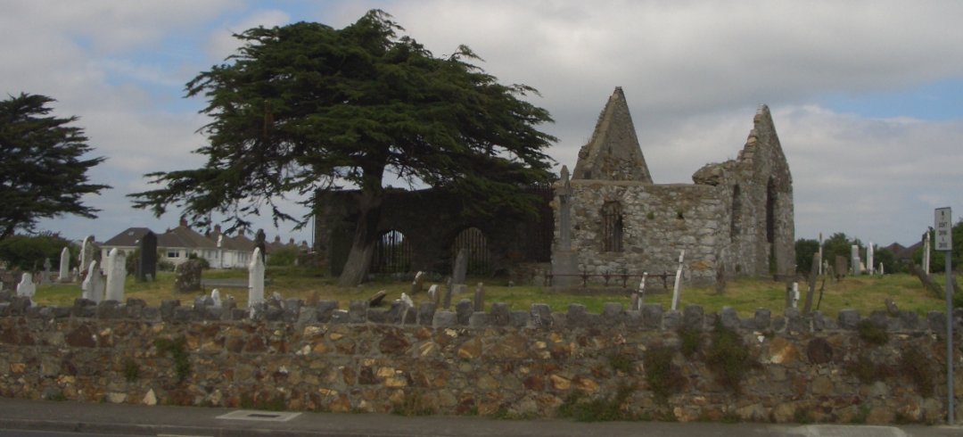 Burial ground in KilbarrahanBurial ground · 769 yd
 LisnapasteeBurial ground · 1188 yd
 Roskeen Housecountry house · 1329 yd
 Roskeen BridgeBridge · 1556 yd
 Gurteenkreen Castle (Site of)Castle, unclassified · 1.1 mi
 Lohort CastleCastle, tower house · 1.6 mi
 Graveyard in Ballygiblin (duhallow By.)Graveyard · 2.5 mi
 Mount Hillary - Knightfield LoopWalking route · 2.8 mi
 Dromaneen CastleHeritage attraction · 2.8 mi
 Mount HillaryMountain / peak · 2.9 mi
 European YewEuropean Yew · 3.0 mi
 Mount Hillary - Mount Hillary LoopWalking route · 3.1 mi