What is recorded here
Stone pair described by O'Hare (1996, 11) as follows; 'This pair of standing stones, both of which are aligned east west, stand close together on a break in a south facing slope, in an area of wet marshy upland. The site commands a fine view over the lowlying land to the southeast, south and southwest and also over the slope of Slievebrickan, which rises to the west and upon which site is situated. Stone 1, standing to the west, measures 65cm in height, 75cm in breadth and 35cm in width. This flat topped stone is roughly rectangular in section and is separated by a distance of 95cm from Stone 2 which is more pointed in profile and measures 70cm in height, 80cm in breadth and 25cm in width. Stone 2 stands slightly to the south of stone 1. Both stones are
aligned east west'.
Compiled by: Caimin O'Brien
Date of upload: 21 April 2022
The monument record does not grant public access. Check the route and ask the landowner before entering private land.
- What survives
- Recorded monument
Places near here
 SlievebrickanMountain / peak · 1032 yd
 Enclosure in Derreen (trughanacmy By.)Enclosure · 1730 yd
 Man-made underground passage in GortacappulMan-made underground passage · 1.0 mi
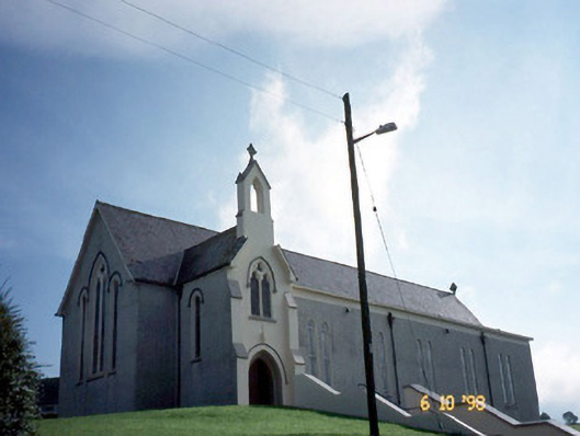 Catholic Church of Our Lady of Lourdeschurch/chapel · 1.4 mi
 Kilnananima Church (in ruins)Church · 1.9 mi
 Site of Ardnagragh CastleCastle, unclassified · 2.1 mi
 Ardnacreach CastleCastle · 2.1 mi
 Barna BogForest · 3.6 mi
 Mount EagleMountain / peak · 4.0 mi
 Crag CaveCave · 4.9 mi
 Nohaval WoodWood · 9.5 mi
 Famine MemorialMemorial · 10 mi