What is recorded here
Stone circle described by O'Hare (1996, 11-12) as follows; 'Four stones, three upright and one fallen, are visible at this site, enclosing a roughly horseshoe shaped area which lies open to the north. A fifth stone standing to the southwest, appears to form an outlier. The stones are standing on a level break in a steep southeast facing slope, in an area of rough mountain pasture. The site commands a view over the roiling land which lies to the east, southeast, south and southeast. Beginning at east and running clockwise, the dimensions of each stone are as follows: Stone 1 measures 1.05m in height, 56cm in breadth and 49cm in width. The stone, which is roughly triangular in section, is aligned northeast-southwest and is separated by a distance of 92cm from stone 2, which lies to the southwest. Stone 2 measures 80cm in height, 84cm in breadth and 59cm in width. The stone is aligned east west and is somewhat irregular in outline. A distance of 1.3m separates it from stone 3 which lies to the northwest. Stone 3 measures 95cm in height, 79cm in breadth and c. 48cm in width. The stone, which tapers towards its north-west end, is aligned southeast-northwest. A distance of 45cm separates it from stone 4, which lies to the north of it. Stone 4 is prostrate, measuring 1.05m in length, 46cm in breadth and 40cm in width. Stones 1 to 4 enclose an area roughly 3m north-south and 2.6m east-west. The outlier, stone 5, stands c. 2m southwest of stone 3. It measures 1.25 in height, 96cm in breadth and c. 59cm in width. The stone, which is rectangular in section, is aligned east west. A number of other stones lie scattered in and around the site and probably represent field clearance'.
See attached photograph and sketch plan drawn by the Castleisland District Archaeological Survey
Compiled by: Caimin O'Brien
Date of upload: 21 April 2022
Likely dating to the Neolithic or Bronze Age, the stone circle in Scartaglin may have been used for ceremonial or astronomical purposes, as suggested by its horseshoe shape and orientation. Such sites often held spiritual or communal significance in prehistoric societies.
The monument record does not grant public access. Check the route and ask the landowner before entering private land.
- What survives
- Recorded monument
Places near here
 SlievebrickanMountain / peak · 193 yd
 Man-made underground passage in GortacappulMan-made underground passage · 1277 yd
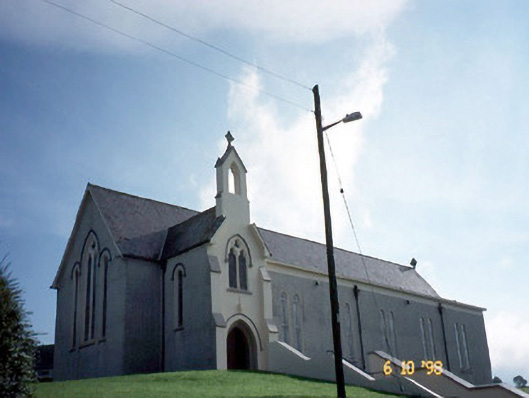 Catholic Church of Our Lady of Lourdeschurch/chapel · 1585 yd
 Enclosure in ScartaglinEnclosure · 1656 yd
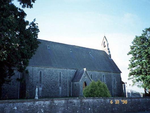 Catholic Church of the Immaculate Conceptionchurch/chapel · 2.1 mi
 Site of Ardnagragh CastleCastle, unclassified · 2.3 mi
 Ardnacreach CastleCastle · 2.3 mi
 Barna BogForest · 3.9 mi
 Mount EagleMountain / peak · 4.3 mi
 Crag CaveCave · 4.8 mi
 Nohaval WoodWood · 9.9 mi
 Famine MemorialMemorial · 9.9 mi