What is recorded here
A pair of standing stones was shown untitled on the 1st edition of the OS map, on a gentle slope overlooking Castlemaine Harbour. No visible trace survives.
The above description is derived from J. Cuppage, ‘Corca Dhuibhne. Dingle Peninsula archaeological survey. Ballyferriter. Oidhreacht Chorca Dhuibhne’ (1986), no. 67. In certain instances the entries have been revised and updated in the light of recent research.
Date of upload: 3 August 2013
This remains an important historical record, but the official description says the monument is no longer visible or has been destroyed. The monument record does not grant public access. Check the route and ask the landowner before entering private land.
- What survives
- No visible remains or recorded as destroyed
Places near here
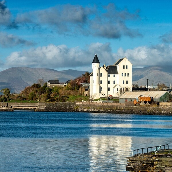 Hut site in CaherpierceHut site · 783 yd
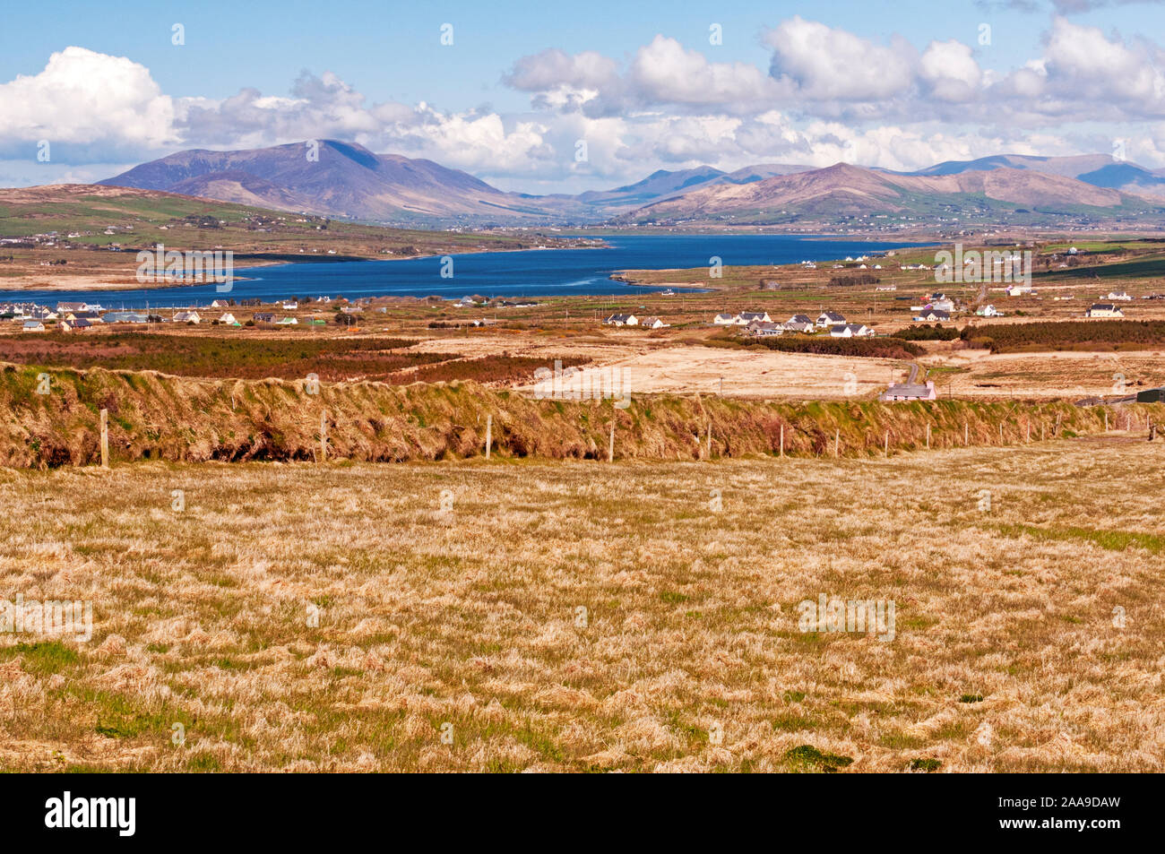 IndicatedHoly well · 875 yd
 Church in LackChurch · 1636 yd
 KilnKiln, corn-drying · 1704 yd
 EmlaghMountain / peak · 1.3 mi
 BeenduffMountain / peak · 1.3 mi
 Cromane PointHeadland · 1.4 mi
 Inch BeachBeach / strand · 2.3 mi
 Cromane BeachBeach / strand · 2.8 mi
 Lough Yganavan Nature ReserveNature reserve · 4.2 mi
 CastleCastle, unclassified · 4.4 mi
 Faisr's GraveArchaeological place · 4.5 mi