What is recorded here
Situated in rough wet pastureland on the S slopes of Mullaghmore overlooking Castlemaine Harbour, this stone stands 1.8m high and measures 2.35m x .65m at base; E-W. The sides exhibit a pronounced shoulder c. 0.5m above the ground, then taper evenly towards a point at top. In the immediate vicinity, particularly to S and SW, are the ruined remains of disused field walls; some, but not all of these are shown on the 2nd edition of the OS map.
The above description is derived from J. Cuppage, ‘Corca Dhuibhne. Dingle Peninsula archaeological survey. Ballyferriter. Oidhreacht Chorca Dhuibhne’ (1986), no. 118. In certain instances the entries have been revised and updated in the light of recent research.
Date of upload: 4 August 2013
The monument record does not grant public access. Check the route and ask the landowner before entering private land.
- What survives
- Recorded monument
Places near here
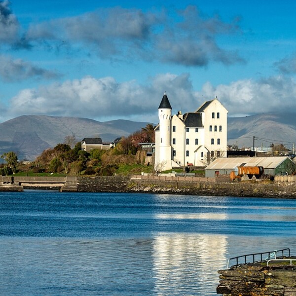 Hut site in CaherpierceHut site · 233 yd
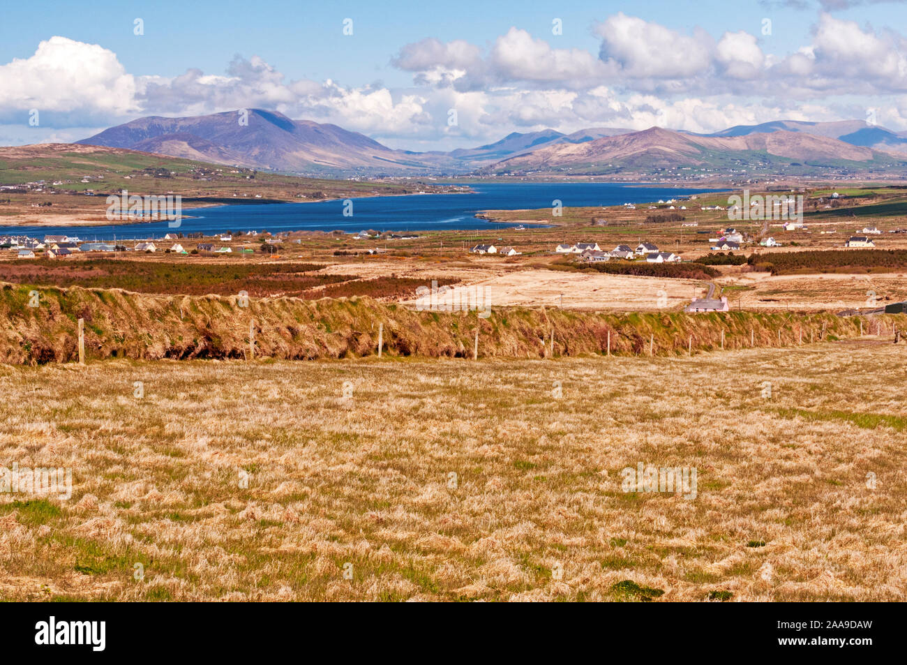 IndicatedHoly well · 586 yd
 KilnKiln, corn-drying · 818 yd
 Church in LackChurch · 1036 yd
 BeenduffMountain / peak · 1.1 mi
 KnockmoreMountain / peak · 1.3 mi
 Cromane PointHeadland · 1.5 mi
 Inch BeachBeach / strand · 2.8 mi
 Cromane BeachBeach / strand · 3.1 mi
 CastleCastle, unclassified · 3.9 mi
 Faisr's GraveArchaeological place · 4.0 mi
 Site of Camp CastleCastle, unclassified · 4.3 mi