What is recorded here
Situated in a field of pasture at the base of the S slope of Saggart Hill. The stones are aligned NW-SE and are 1.3m apart. The SE stone is a three-sided granite pyramid (H 1.4m; 1.2-1.5m), the NW stone is a rectangular, granite, pillar (H 1.6m; L 1-1.3m; Wth 0.8-0.9m). Known locally as the 'Adam and Eve' stones (McDix 1899, 125-9).
Compiled by: Geraldine Stout
Revised by: Caimin O'Brien
Date of revised upload: 20 April 2023
Likely dating to the Late Neolithic or Bronze Age, the pair of standing stones in Boherboy may have functioned as a ritual or ceremonial alignment, possibly linked to solar or seasonal markers given their orientation. Such stone pairs are sometimes associated with early burial practices or territorial boundaries, though specific folklore or use in this case is not recorded.
The monument record does not grant public access. Check the route and ask the landowner before entering private land.
- What survives
- Recorded monument
Places near here
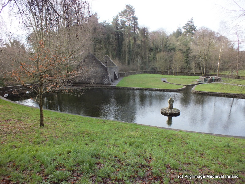 St. Patricks WellHoly well · 240 yd
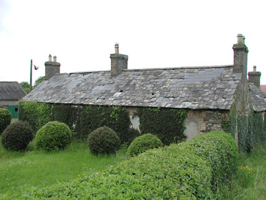 farmyard complexfarmyard complex · 500 yd
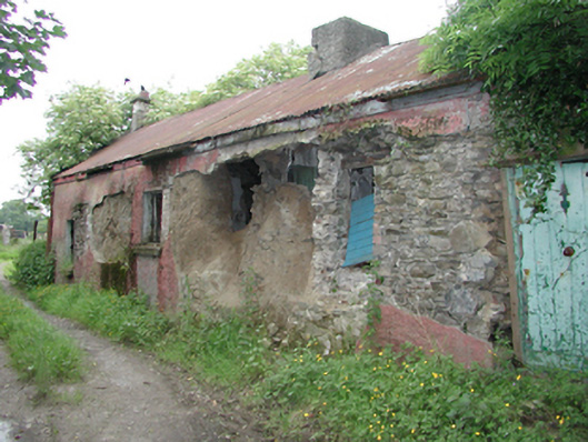 farm housefarm house · 569 yd
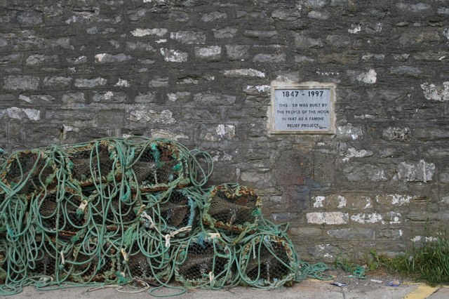 IndicatedHoly well · 583 yd
 CastleCastle, tower house · 896 yd
 Verschoyle's HillMountain / peak · 1631 yd
 Meadow WildlifeVisitor information · 1728 yd
 Rathcoole WoodlandWood · 1.0 mi
 Inniscara GalleryGallery · 1.6 mi
 KnackannaveaMountain / peak · 1.9 mi
 Early Stadium DesignHeritage attraction · 2.0 mi
 Graveyard in BallymanaGraveyard · 2.0 mi