What is recorded here
This site, not marked on the OS maps, is located in a marshy area about 120m N of the river Currane. Of regular elevation, it is a roughly rectangular sectioned block that stands 1.75m high and measures .4m x .13m at base; E-W. Traces of packing stones are visible around its base.
The above description is derived from A. O'Sullivan and J. Sheehan (compilers), 'The Iveragh peninsula: an archaeological survey of South Kerry'. Cork University Press (1996), no. 221. In certain instances the entries have been revised and updated in the light of recent research.
Date of upload: 28 July 2013
Likely dating to the Neolithic or Bronze Age, this standing stone may have served a ritual or territorial function. No specific folklore or inscriptions are recorded, though its placement near the river suggests a possible ceremonial or symbolic relationship with the landscape.
The monument record does not grant public access. Check the route and ask the landowner before entering private land.
- What survives
- Recorded monument
Places near here
 Enclosure in WatervilleEnclosure · 342 yd
 Indicated (1846).Enclosure · 355 yd
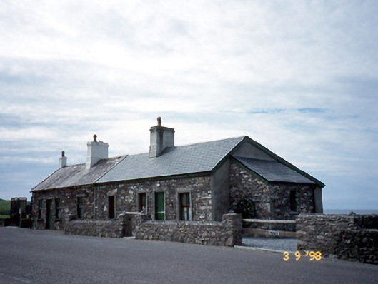 coastguard stationcoastguard station · 533 yd
 T. C. Millerick MemorialMemorial · 544 yd
 Waterville PromenadeWalking route · 559 yd
 Butler MemorialMemorial · 611 yd
 Butler Memorial Fountainmonument · 611 yd
 CastleCastle, tower house · 1342 yd
 Inny StrandBeach / strand · 1.9 mi
 An Bheann MhórMountain / peak · 2.6 mi
 Bá na ScealgBay · 2.6 mi
 Reenrow BeachBeach / strand · 2.7 mi