What is recorded here
Mentioned in local legend as a boundary marker for ancient tribal lands, the standing stone in Wardhouse stands near the coast where human activity first shaped the landscape. The exact age remains unknown, but the stone marks a place where people lived, moved and remembered long before modern records.
Towards the top of a rise close to the seashore of Donegal Bay. A field stone (LE001-016001-), possibly a displaced standing stone, is on a NW-SE field wall. An upright sandstone slab (dims 1.1m x 0.3m; H 0.9m) aligned NNW-SSE is incorporated into the wall 1.7m to the S.
The above description is derived from 'The Archaeological Inventory of County Leitrim' compiled by Michael J. Moore (Dublin: Stationery Office, 2003). In certain instances the entries have been revised and updated in the light of recent research.
Date of upload: 23 September 2008
Probably dating to the Neolithic or Bronze Age, this standing stone may have had ritual or territorial significance, possibly linked to early farming communities or local sea-related folklore. Its alignment and coastal location suggest a possible orientation towards the bay, perhaps for ceremonial or navigational purposes.
The monument record does not grant public access. Check the route and ask the landowner before entering private land.
- What survives
- Recorded monument
Places near here
 Giant's GraveArchaeological place · 219 yd
 LaghtaFairy fort / stone ringfort · 548 yd
 ForyFairy fort / earthen ringfort · 588 yd
 Saint Patrick's Catholic Churchchurch/chapel · 1043 yd
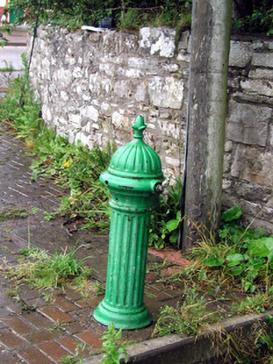 water pumpwater pump · 1480 yd
 Bawn in DuncarbryBawn · 1694 yd
 Bundrowes Castle (Site of)Castle, unclassified · 1.2 mi
 BundoranOfficial bathing water · 3.0 mi
 Wishing ChairHeritage attraction · 3.5 mi
 Fairy BrigesHeritage attraction · 3.5 mi
 Cliffs by BundoranPublicly named cliff or headland · 3.7 mi
 assassination of Louis Mountbatten, 1st Earl Mountbatten of Burmaassassination · 3.9 mi