What is recorded here
Wardhouse keeps a buried standing stone on its north-facing slope, recorded in 1944 as an upright block nearly four feet tall. The earth has swallowed the stone and erased its exact position, transforming a visible marker into a forgotten rumor. What remains is the shape of the loss: a hill that once pointed upward now hides its own history beneath grass and time.
On the N-facing slope of a hill. Described c. 1944 as an upright stone ‘3 feet 11 inches high by 2 feet 9 inches by 11 inches (dims c. 0.9m x c. 0.3m; H c. 1.15m)’ (SMR file). It is not visible at ground level and its exact location is not known.
The above description is derived from 'The Archaeological Inventory of County Leitrim' compiled by Michael J. Moore (Dublin: Stationery Office, 2003). In certain instances the entries have been revised and updated in the light of recent research.
Date of upload: 23 September 2008
The monument record does not grant public access. Check the route and ask the landowner before entering private land.
- What survives
- Recorded monument
Places near here
 IndicatedFairy fort / stone ringfort · 155 yd
 LaghtaFairy fort / stone ringfort · 378 yd
 Giant's GraveArchaeological place · 814 yd
 Saint Patrick's Catholic Churchchurch/chapel · 1126 yd
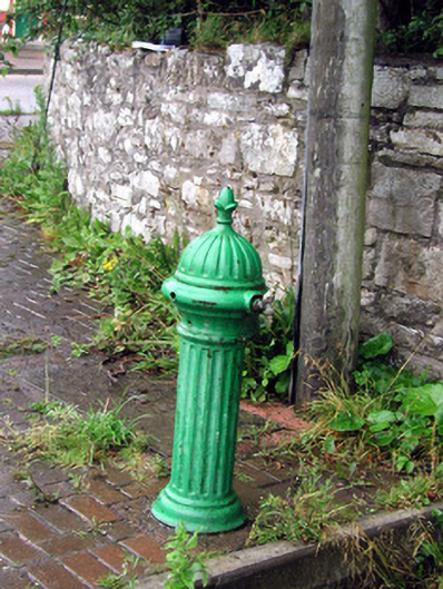 water pumpwater pump · 1514 yd
 Bawn in DuncarbryBawn · 1529 yd
 Bundrowes Castle (Site of)Castle, unclassified · 1.3 mi
 BundoranOfficial bathing water · 3.1 mi
 Wishing ChairHeritage attraction · 3.6 mi
 Fairy BrigesHeritage attraction · 3.6 mi
 Cliffs by BundoranPublicly named cliff or headland · 3.8 mi
 Cormac Reagh's HoleCave · 4.0 mi