What is recorded here
Donegal Bay floods the flat land around Wardhouse, yet the sandstone upright still breaks the surface two metres high. It leans north like a tired sentry beside the old rath, marking a boundary or remembering a name lost before written history. The sea takes fields and gives them back, but the stone refuses to disappear.
In a low-lying position close to the seashore of Donegal Bay and c. 20m W of a rath (LE001-027----). This is a plain sandstone upright (dims 0.77m x 0.3m; H 2.05m) oriented E-W with a damaged top and it leans slightly to the N. (Holly 1976, 136, No. 1)
See the attached view taken from the SW.
The above description is derived from 'The Archaeological Inventory of County Leitrim' compiled by Michael J. Moore (Dublin: Stationery Office, 2003). In certain instances the entries have been revised and updated in the light of recent research.
Date of upload: 23 September 2008
Probably dating to the Bronze Age, this standing stone may have had ritual or territorial significance, possibly linked to the nearby rath. Its orientation and coastal location suggest it could have been part of a landscape marked by ceremonial activity or navigation aids for early seafarers.
The monument record does not grant public access. Check the route and ask the landowner before entering private land.
- What survives
- Recorded monument
Places near here
 ForyFairy fort / earthen ringfort · 67 yd
 Giant's GraveArchaeological place · 381 yd
 Saint Patrick's Catholic Churchchurch/chapel · 608 yd
 LaghtaFairy fort / stone ringfort · 756 yd
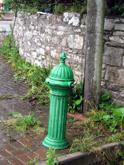 water pumpwater pump · 1006 yd
 Bawn in DuncarbryBawn · 1271 yd
 Bundrowes Castle (Site of)Castle, unclassified · 1656 yd
 BundoranOfficial bathing water · 2.7 mi
 Wishing ChairHeritage attraction · 3.2 mi
 Fairy BrigesHeritage attraction · 3.2 mi
 Cliffs by BundoranPublicly named cliff or headland · 3.4 mi
 Finner Old GraveyardGraveyard · 3.7 mi