What is recorded here
Bowman (1934, 509) recorded two stones c. 3.6m apart standing c. 90m SSE of possible stone row (9846); the first ('6ft 11in by 13ft 4in') was in an 'inclining position'; the second, to N, was broken: remaining portion was '14ft high by 7ft 8in girth'. According to local information, one stone with cupmarks was standing up to c. 1981 when it was removed to field fence to W (CO029-039003-). Stone (L 1.7m; H 0.8m) still lying in field fence.
The above description is derived from the published 'Archaeological Inventory of County Cork. Volume 4: North Cork' (Dublin: Stationery Office, 2000). In certain instances the entries have been revised and updated in the light of recent research.
Date of revision: 15 December 2009
Likely dating to the Neolithic or Bronze Age, the standing stone in Ummeraboy West may have been part of a ritual or ceremonial landscape, possibly aligned with seasonal or astronomical events. Its association with a nearby possible stone row suggests a broader prehistoric network of monuments, though specific meaning or folklore remains unrecorded.
The monument record does not grant public access. Check the route and ask the landowner before entering private land.
- What survives
- Recorded monument
Places near here
 BarrowBarrow, ring-barrow · 561 yd
 Fulacht FiadhFulacht fia · 1595 yd
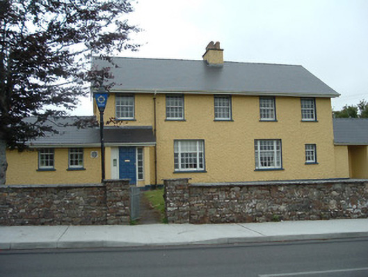 Knocknagree Garda Stationgarda station/constabulary barracks · 1.3 mi
 Knocknagree Roman Catholic Churchchurch/chapel · 1.4 mi
 Nohaval WoodWood · 2.8 mi
 Dromsicane Castle (in Ruins)Bawn · 5.9 mi
 Barna BogForest · 6.1 mi
 Doctor's HillMountain / peak · 6.4 mi
 Caherbarnagh NW TopMountain / peak · 6.8 mi
 Wildlife of the UplandsVisitor information · 7.2 mi
 Birds of DuhallowVisitor information · 7.3 mi
 Kilmeedy CastleCastle, tower house · 8.0 mi