What is recorded here
Situated on grassland. Ringfort (WM012-002----) 220m to SE, chapel (WM012-003----) 420m to SSE. Depicted on the 1837 OS Fair Plan map and annotated as ‘standing stone’. A tall roughly dressed limestone pillar (WM012-001----) now stands at the end of a field fence running NE-SW, 220m from where it is marked on the 1837 OS Fair Plan map. A small round depression in one face suggests that it was used as a gate post. Standing stone was possibly moved from original location marked on 1837 map to new location in modern times. Cross-referenced with WM012-001----.
Compiled by: Frank Coyne and Caimin O'Brien
Date of upload: 30 August 2017
Probably dates to the early medieval period, given its proximity to a ringfort and chapel, and may have had a ceremonial or territorial function. Its depiction on the 1837 OS map suggests it was still recognised as a notable feature in the 19th century, though specific folklore or symbolic meaning is not recorded.
The monument record does not grant public access. Check the route and ask the landowner before entering private land.
- What survives
- Recorded monument
Places near here
 Partially hachuredFairy fort / earthen ringfort · 278 yd
 ChapelChurch · 452 yd
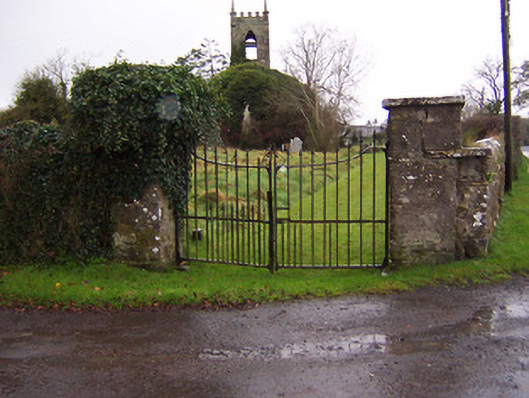 Church of Saint John the Baptist (Stonehall)church/chapel · 1205 yd
 IndicatedFairy fort / earthen ringfort · 1444 yd
 CastleCastle, motte · 1724 yd
 Partially indicatedCastle, motte · 1.4 mi
 Bridge Memorial (Kenna)Memorial · 1.6 mi
 Scragh Bog Nature ReserveNature reserve · 2.2 mi
 KnockeyonMountain / peak · 2.8 mi
 Church IslandIsland · 3.0 mi
 Long PlantingForest · 3.3 mi
 Carrickphilbin IslandIslet · 3.6 mi