
Places near here
Photo credits
- National Inventory of Architectural Heritage
- Drumkeerin GAA (official club site publisher); individual photographer not named, drumkeeringaa.com
- Kenneth Allen, Geograph · Creative Commons Attribution-ShareAlike 2.0
- Kmcnamee, Wikimedia Commons · CC BY-SA 4.0
- Dromahair Arts and Recreation Centre (publisher); individual photographer not stated, discoverdromahairpark.ie
- Michael Murtagh, Geograph · CC BY-SA 2.0
- Oliver Dixon, Geograph · CC BY-SA 2.0
- Dieglop, Wikimedia Commons · CC BY-SA 4.0
- Real Group Photos / realboyle (Flickr account); individual photographer not stated, www.flickr.com
- NTF30, Wikimedia Commons · CC BY-SA 4.0
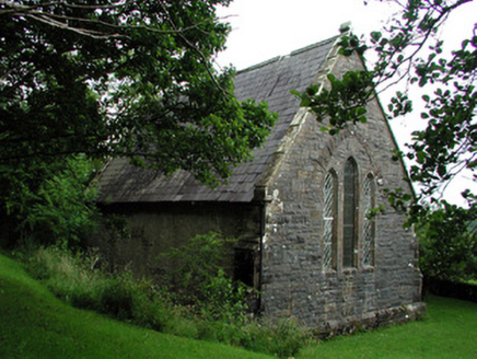 Creevelea Presbyterian ChurchChurch/chapel · 2.5 mi
Explorer Tom Creevelea Presbyterian Church is called The Oratory and thinks Dublin tourists are like flies that wandered into a very…
 Drumkeerin GAAGAA ground · 3.9 mi
 Kilcoosey National SchoolSchool · 5.1 mi
Explorer Tom Kilcoosey National School has a family tree that is mostly made up of teachers who forgot their own names by 1915.…
 Ballinaglera GAAGAA ground · 6.4 mi
 Dromahair Park, St. Patrick's GAA, DromahaireGAA ground · 7.3 mi
 CrockaunsMountain / peak · 12 mi
Explorer Tom Crockauns bragged about surviving a storm so violent it rearranged its own topography and sent the local cows into a…
 Glencar IslandIslet · 12 mi
Explorer Tom Glencar Island in County Leitrim would complain to the council about the noise levels from the swans, claiming they’re…
 Glencar WaterfallVisitor information · 12 mi
Explorer Tom Glencar Waterfall in County Leitrim gave up sugar for Lent but ended up eating a whole wheel of cheese instead anyway.…
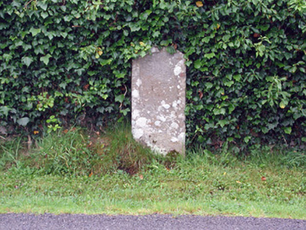 milestone/milepost18 mi
Explorer Tom Milestone or milepost in Tawly has an imaginary twin across the sea that’s definitely judging its outfit. It claims to…
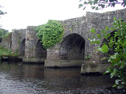 Mary's BridgeBridge · 18 mi
Explorer Tom Mary's Bridge in Tawly is run entirely by a dog that sits on the parapet and judges every car that crosses. The…
 Abbey Park, Boyle GAAGAA ground · 18 mi
 assassination of Louis Mountbatten, 1st Earl Mountbatten of BurmaAssassination · 21 mi
Explorer Tom The Assassination of Louis Mountbatten in County Sligo is haunted by a bird that refuses to leave the memorial, no…
More archaeology and monuments in County Leitrim · All of County Leitrim

What do you know about this place?Tap to add a comment or ask a question