What is recorded here
Granite stands in Tobinstown, County Carlow, aligned northwest to southeast and worn into deep grooves by centuries of rain. It may have marked a boundary, a burial or a gathering place, though no written account survives to confirm which. The stone still occupies the field like a forgotten sentinel, waiting for someone to remember why it was set upright.
The following description is derived from the published 'Archaeological Inventory of County Carlow' (Dublin: Stationery Office, 1993). In certain instances the entries have been revised and updated in the light of recent research.
Date of upload/revision: 17 July 2007
Granite stone with rectangular section, badly eroded with deep grooves (H c. 1.5m; dims. at base 0.7m x 0.65m). Aligned NW-SE. (JRSAI 1939, 104).
The monument record does not grant public access. Check the route and ask the landowner before entering private land.
- What survives
- Recorded monument
Places near here
 EnclosureEnclosure, large enclosure · 122 yd
 Tobinstown RathFairy fort / earthen ringfort · 1074 yd
 Templemoneen Church (in ruins)Church · 1399 yd
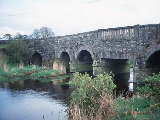 Acaun Bridgebridge · 1694 yd
 Acaun Church (in ruins), GraveyardChurch · 1.1 mi
 Site of CastleCastle, unclassified · 1.6 mi
 CastleCastle, unclassified · 1.7 mi
 European ashEuropean ash · 2.1 mi
 Rath WoodForest · 2.9 mi
 Church (in ruins), Cross, GraveyardChurch · 4.4 mi
 Castledermot Round TowerHeritage attraction · 8.2 mi
 Franciscan FriaryHeritage attraction · 8.2 mi