What is recorded here
National Monument No. 353. Situated on the W-facing lower slope of a hill overlooking a valley, in a field NW of the 'Timoney Stones' (TN018-015001-). Not indicated on the 1st (1843) or 2nd (1904) ed. OS 6-inch map. The stone (H 1.4m; dims. 0.87m x 0.62m), composed of sandstone with quartz pebble inclusions, is aligned NNE-SSW, rising to its apex at NNE. It is rectangular in plan. A seam of white quartz is exposed on the top surface of the stone. A small stone projects from the base at the NNE side, which may be evidence of a packing stone.
The above description is derived from 'The Archaeological Inventory of County Tipperary. Vol. 1 - North Tipperary' compiled by Jean Farrelly and Caimin O'Brien (Dublin: Stationery Office, 2002). In certain instances the entries have been revised and updated in the light of recent research.
Compiled and revised by: Caimin O'Brien and Jean Farrelly
Date of upload/revision: 06 February 2015
Dated to the Late Neolithic or Early Bronze Age, this standing stone likely served a ceremonial or ritual function, possibly aligned with solar or lunar events. No specific folklore is recorded, but its placement suggests a connection to broader prehistoric landscape use in the area.
The monument record does not grant public access. Check the route and ask the landowner before entering private land.
- What survives
- Recorded monument
Places near here
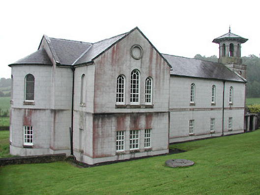 Christ Church (Corbally)mill (water) · 464 yd
 The Rectoryrectory/glebe/vicarage/curate's house · 554 yd
 Fulacht fia in Cullaun,timoney HillsFulacht fia · 962 yd
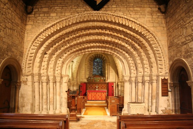 Ecclesiastical enclosure in TimoneyEcclesiastical enclosure · 1006 yd
 Carricknasrock WoodWood · 1101 yd
 Black HillMountain / peak · 1.1 mi
 Castle (in Ruins)Bawn · 1.6 mi
 Rockforest Ho.Castle, unclassified · 2.1 mi
 European BeechEuropean Beech · 3.1 mi
 Saint Kieran's WellSpring · 4.4 mi
 Roscrea Petty Sessions HouseHeritage attraction · 4.5 mi
 Millennium GardenMemorial · 4.8 mi