
What is recorded here
Situated near a small stream in a small beech grove. No visible trace of site above ground. According to the NMI file there was a fulacht fia intact in 1962 (NMI Correspondence Registers 17/75/62).
The above description is derived from 'The Archaeological Inventory of County Tipperary. Vol. 1 - North Tipperary' compiled by Jean Farrelly and Caimin O'Brien (Dublin: Stationery Office, 2002). In certain instances the entries have been revised and updated in the light of recent research.
Date of upload/revision: 22 September 2008
This remains an important historical record, but the official description says the monument is no longer visible or has been destroyed. The monument record does not grant public access. Check the route and ask the landowner before entering private land.
- What survives
- No visible remains or recorded as destroyed
Places near here
 Enclosure in Timoney HillsEnclosure · 120 yd
 Enclosure in Newtown (bourney Par.)Enclosure · 1060 yd
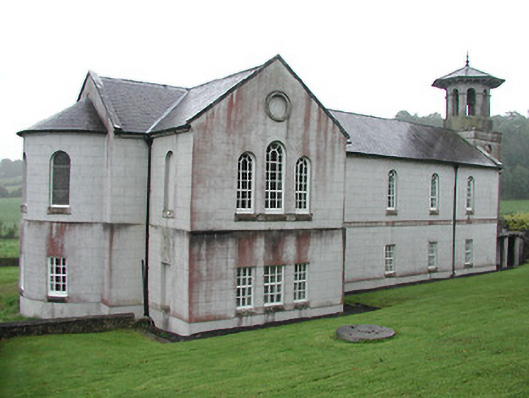 Christ Church (Corbally)mill (water) · 1370 yd
 The Rectoryrectory/glebe/vicarage/curate's house · 1445 yd
 Carricknasrock WoodWood · 1.0 mi
 Black HillMountain / peak · 1.4 mi
 Castle (in Ruins)Bawn · 1.9 mi
 Rockforest Ho.Castle, unclassified · 2.1 mi
 European BeechEuropean Beech · 3.5 mi
 Saint Kieran's WellSpring · 4.7 mi
 Roscrea Petty Sessions HouseHeritage attraction · 5.0 mi
 Millennium GardenMemorial · 5.3 mi
Other information
Photo: Credit not shown in the picture search · Rights wording not checked; contact us if this picture should be removed