
What is recorded here
From the National Monuments Service (Archaeological Survey of Ireland) record LA031-027
Places near here
Photo credits
- National Inventory of Architectural Heritage
- Maker not stated on source page, www.dreamstime.com
- Maker not stated on source page, www.echolive.ie
- Maker not stated on source page, commons.wikimedia.org
- Andy Ryan / 1803 Productions, credited by Kilkenny GAA, kilkennygaa.ie
- Maker not stated on source page, kr.pinterest.com
- Willow, Wikimedia Commons · CC BY 2.5
- Maker not stated on source page, en.wikipedia.org
- Maker not stated on source page, au.pinterest.com
- A.-K. D., Wikimedia Commons · CC BY-SA 4.0
 Fleming's FireclaysKiln · 1109 yd
Explorer Tom Fleming's Fireclays in Slatt Lower would survive a reality show by refusing to speak and staring intensely at everyone…
 Standing stone in Slatt Lower,slatt UpperStanding stone · 1309 yd
Explorer Tom Standing stone in Slatt Lower handles nosey neighbours by just standing there near Wolf's Hill Road, looking…
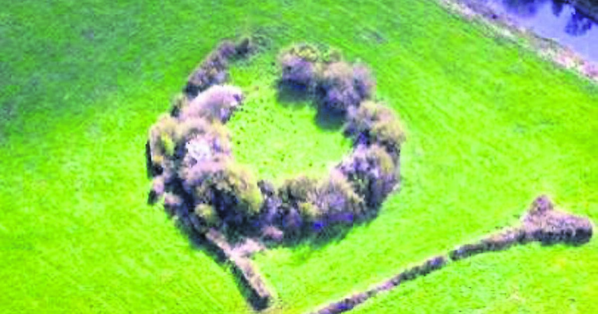 Fairy fort / earthen ringfort in MoyaddFairy fort / earthen ringfort · 1731 yd
Explorer Tom This fairy fort in Moyadd was nearly sold to a farmer for a horse, but he wanted a different colour. It’s got a silage…
 Saint Mary's Catholic ChurchChurch/chapel · 1.0 mi
Explorer Tom Saint Mary's Catholic Church in Crissard is a five-bay gable-fronted legend that was renovated in the 1980s, which…
 Fairy fort / earthen ringfort in WolfhillFairy fort / earthen ringfort · 1.2 mi
Explorer Tom Enclosure in Vicarstown is secretly proud of that one potato it grew inside its circular ditch back in the day, which…
 Graveyard in KilfeacleGraveyard · 1.9 mi
Explorer Tom Graveyard in Kilfeacle is named after a saint’s tooth, which sounds like a dental nightmare waiting to happen. It’s got…
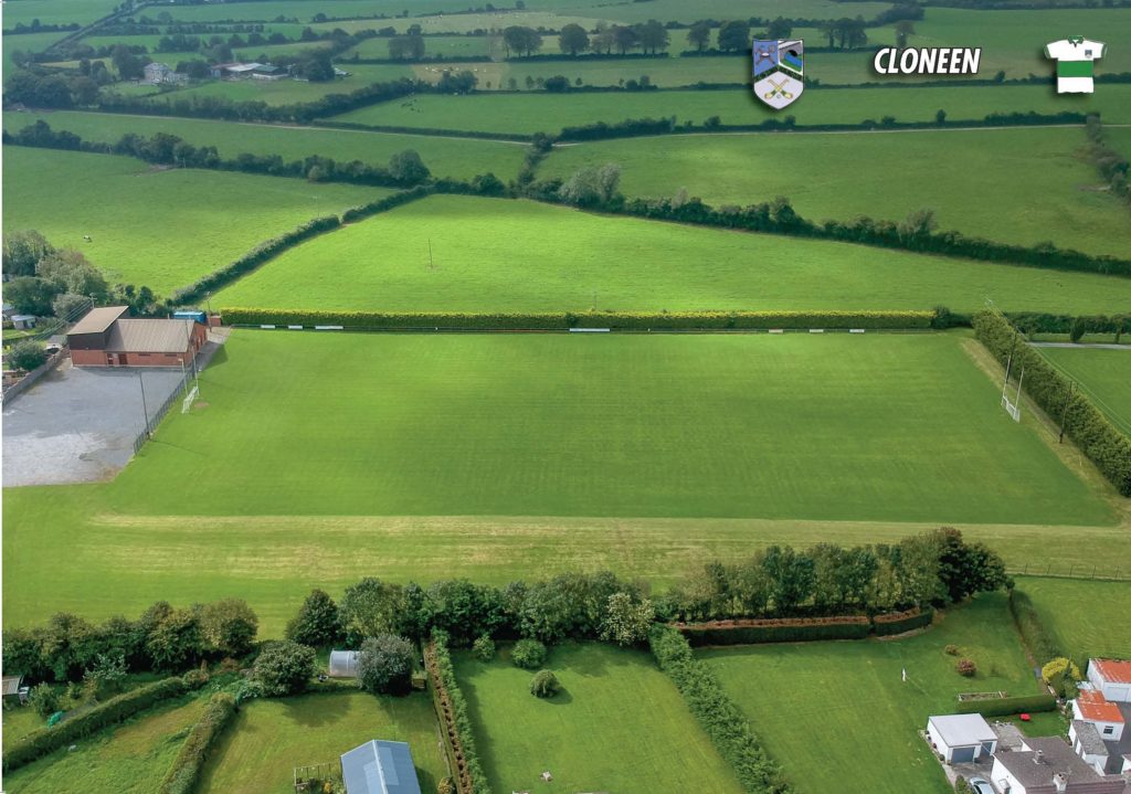 Cloneen GAA pitchGAA ground · 2.0 mi
 Graveyard in Aughatubbrid or ChatsworthGraveyard · 2.0 mi
Explorer Tom Graveyard in Aughatubbrid or Chatsworth would bring a very serious hat and a jar of honey to any party, probably…
 European ash4.0 mi
Explorer Tom European Ash here is pretending to be its twin across the sea, but we both know it’s just lonely. It’s got that 'I’m…
 Ballylehane CastleArchaeological place · 4.2 mi
Explorer Tom Ballylehane Castle smells like damp wool and forgotten secrets according to my nose, which is usually wrong but…
 Castle (in Ruins)Castle, tower house · 4.4 mi
Explorer Tom Castle in Milltown ended up in the wrong place because the builder got lost. It’s just a wall now, but it thinks it’s…
 Kilgorey Old BurialVisitor information · 4.7 mi
Explorer Tom Kilgorey Old Burial is where the seagulls hold their weekly council meetings about who stole the crisps from the picnic…
More archaeology and monuments in County Laois · All of County Laois

What do you know about this place?Tap to add a comment or ask a question