What is recorded here
Milltown Ballyvuilling castle reduced a tower house to one long rubble wall beside a farmyard in County Laois. Its outworks and fosse disappeared into stagnant fishponds and levelled ground, while a dwelling leaned against what remained. The wall still runs northwest to southeast, twenty-nine metres of forgotten angle in undulating countryside.
Marked on the Down Survey barony map. Known as Milltown Ballyvuilling castle. Situated in undulating countryside, in farmyard. It consisted of a square tower with levelled outworks and a modern dwelling-house built against it (O'Hanlon and O'Leary 1907 vol. 1, 302-03). A wall (L c. 29m, H c. 2.9m, wall T c.0.9m) built of roughly coursed rubble limestone, running NW to SE are the only remains.
Described in the History of the Queens County as 'One square tower constitutes the principal remnant of this structure. Most of the outworks, consisting of walls and earthen mounds are now levelled. Stagnant fishponds occupy the site of its surrounding fosse. The building was placed by the side of a shallow rivulet, and it is well sheltered by hills in every direction, except towards the south. The situation of the castle seemed more calculated for domestic comfort, than for defensive warfare. A modern dwelling-house has been attached to it' (O'Hanlon and O'Leary 1907 vol. 1, 303).
The above description is derived from the published 'Archaeological Inventory of County Laois' (Dublin Stationery Office, 1995) compiled by P. David Sweetman, Olive Alcock and Bernie Moran. In certain instances the entries have been revised and updated in the light of recent research.
Date of upload: 17 December 2007
Milltown Ballyvuilling castle was built in the 17th century, likely by a local landholding family in the barony area. It is remembered for its historical presence on the Down Survey map and as a rare example of early modern rural defensive architecture in the region.
The monument record does not grant public access. Check the route and ask the landowner before entering private land.
- What survives
- Recorded monument
Places near here
 Bawn in MilltownBawn · 26 yd
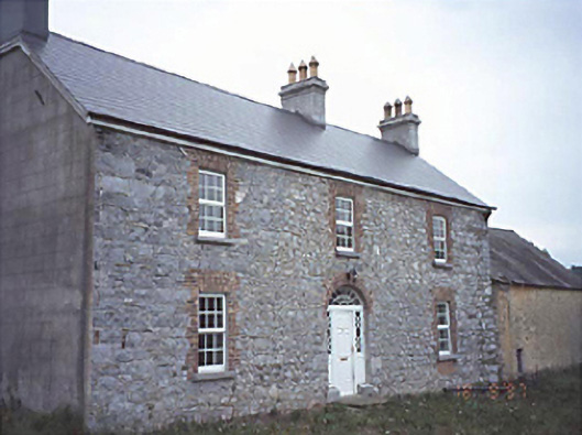 Milltown Househouse · 27 yd
 Enclosure in Boley (ballyadams By.)Enclosure · 605 yd
 Enclosure in MilltownEnclosure · 625 yd
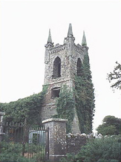 Rathaspick Churchchurch/chapel · 1041 yd
 Ballylehane CastleCastle, unclassified · 1.2 mi
 DM PenderMemorial · 3.3 mi
 Brackney WoodForest · 4.4 mi
 Mass Rock WalkWalking route · 4.8 mi
 Cobbler's Castle WalkWalking route · 4.8 mi
 Mass RockNamed rock · 4.9 mi
 Pedunculate OakPedunculate Oak · 4.9 mi