What is recorded here
Situated on fairly level ground in pasture with a slight slope down to the E; the site overlooks a nearby ringfort (TN023-042) to the W. A standing stone (H 1.32m; dims. 0.75m x 0.56m) aligned NW-SE, composed of sandstone with large quartz pebble inclusions. The NE face is partially split and kicks out at the base. The stone rises to its apex at NW and is roughly rectangular in plan.
The above description is derived from 'The Archaeological Inventory of County Tipperary. Vol. 1 - North Tipperary' compiled by Jean Farrelly and Caimin O'Brien (Dublin: Stationery Office, 2002). In certain instances the entries have been revised and updated in the light of recent research.
Date of upload/revision: 22 September 2008
Probably dating to the Bronze Age, the alignment and location suggest a possible ritual or territorial function, potentially linked to the nearby ringfort. Such stones may have been used in ceremonial practices or as markers within the landscape.
The monument record does not grant public access. Check the route and ask the landowner before entering private land.
- What survives
- Recorded monument
Places near here
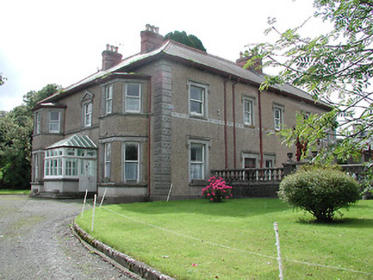 Skehanagh Househouse · 359 yd
 Killough Grave Yard (Disused)Ecclesiastical enclosure · 1168 yd
 Fortescuecottage ornee · 1305 yd
 CastleCastle, ringwork · 1.3 mi
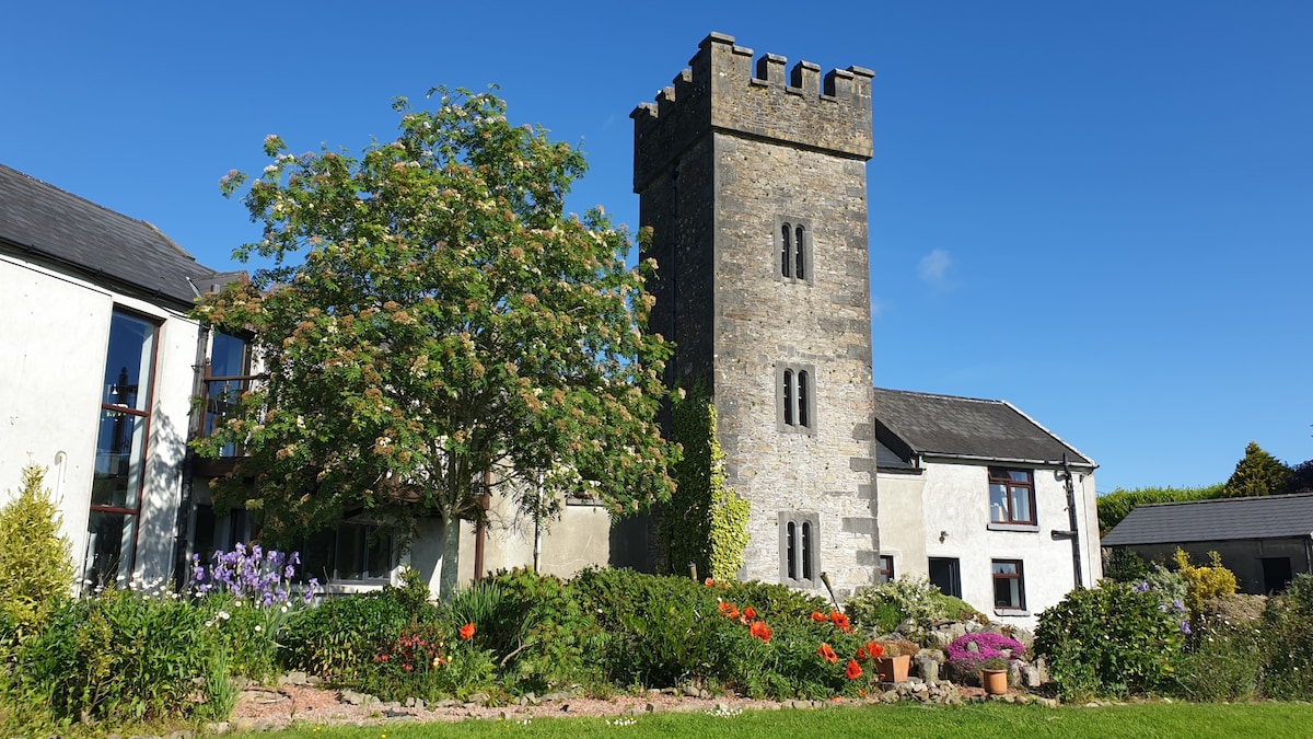 Enclosure in ClonakennyEnclosure · 1.4 mi
 Longford WoodForest · 1.7 mi
 Castle (in ruins)House, fortified house · 1.7 mi
 College HillMountain / peak · 1.8 mi
 Kilduff MountainMountain / peak · 2.7 mi
 Morris's GroveForest · 4.4 mi
 Thomas MacDonagh Heritage CentreMuseum · 10 mi
 MacDonagh HouseMemorial · 10 mi