
What is recorded here
From the National Monuments Service (Archaeological Survey of Ireland) record DG019-011
Places near here
Photo credits
- National Inventory of Architectural Heritage
- Maker not stated on source page, www.pinterest.com
- David Dixon, Geograph · CC BY-SA 2.0
- Maker not stated on source page, commons.wikimedia.org
- Maker not stated on source page, www.bigstockphoto.com
- Richard Webb, Wikimedia Commons · CC BY-SA 2.0
- Maker not stated on source page, www.dreamstime.com
- Golfing in Ireland; photographer not stated, Source publisher
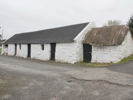 outbuilding1254 yd
Explorer Tom Outbuilding in Owenboy is a modest c. 1820 shed that’s somehow managed to keep its rope-and-peg thatch alive. It’s not…
 Cist in SladranCist · 1572 yd
Explorer Tom Cist in Sladran is a tiny stone-lined box, measuring just 1m by 0.72m and 0.63m deep, tucked away in a farmyard where…
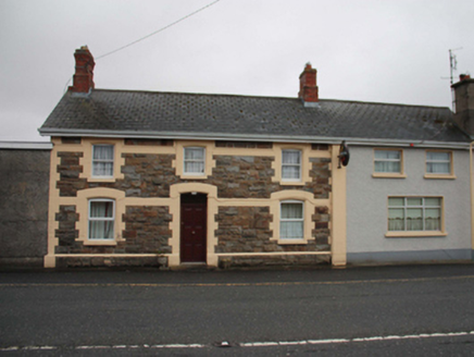 North PoleRailway station · 1.2 mi
Explorer Tom North Pole station opened in 1901 as part of the narrow-gauge railway to Carndonagh, and now serves pints instead of…
 The North PolePub · 1.2 mi
Explorer Tom The North Pole in Drumfree is geographically chaotic, claiming polar status while sitting in the middle of Donegal’s…
 Kinnagoe BridgeBridge · 1.2 mi
Explorer Tom Kinnagoe Bridge has been straddling the Owenboy since c. 1800 with a very serious face. Those triangular cut-waters are…
 Kinnagoe Urn Burial CistCist · 1.4 mi
Explorer Tom Kinnagoe Urn Burial Cist was found when someone was clearing sand and thought an urn was a weird piece of furniture.…
 Standing stone in KinnagoeStanding stone · 1.5 mi
Explorer Tom Standing stone in Kinnagoe has totally collapsed into a deep nap! It used to stand up tall, but now it’s just lying…
 Slieve MainMountain / peak · 2.4 mi
Explorer Tom Slieve Main is recorded as a mountain / peak in County Donegal, and it looks like a solid, reliable sort of hill. I…
 Greenhill GraveyardGraveyard · 3.2 mi
Explorer Tom Greenhill Graveyard has a curved wall that might follow an older enclosure, though the survey keeps that as a…
 Slieve SnaghtMountain / peak · 3.2 mi
Explorer Tom Slieve Snaght has a namesake in Donegal, so I checked the map twice before announcing that I had found the snow…
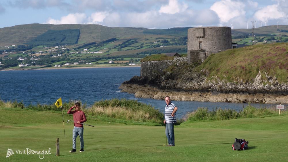 Otway Golf ClubGolf course · 5.6 mi
 Glebe Old GraveyardGraveyard · 6.5 mi
Explorer Tom Glebe Old Graveyard held a church described as long deserted by 1706, yet the surrounding ground is still in use today.…
More archaeology and monuments in County Donegal · All of County Donegal

What do you know about this place?Tap to add a comment or ask a question