
What is recorded here
From the National Monuments Service (Archaeological Survey of Ireland) record DG019-017
Places near here
Photo credits
- Maker not stated on source page, au.pinterest.com
- Maker not stated on source page, www.heartlandtravel.co.uk
- Maker not stated on source page, in.pinterest.com
- National Inventory of Architectural Heritage
- Maker not stated on source page, www.pinterest.com
- Maker not stated on source page, commons.wikimedia.org
- Maker not stated on source page, www.bigstockphoto.com
- Maker not stated on source page, www.pinterest.ru
- David Dixon, Geograph · CC BY-SA 2.0
- Oliver Dixon, Wikimedia Commons
 Standing stone in SladranStanding stone · 325 yd
Explorer Tom Standing stone in Sladran is basically just a name that means 'the place where you drop your phone,' if you ask me. It…
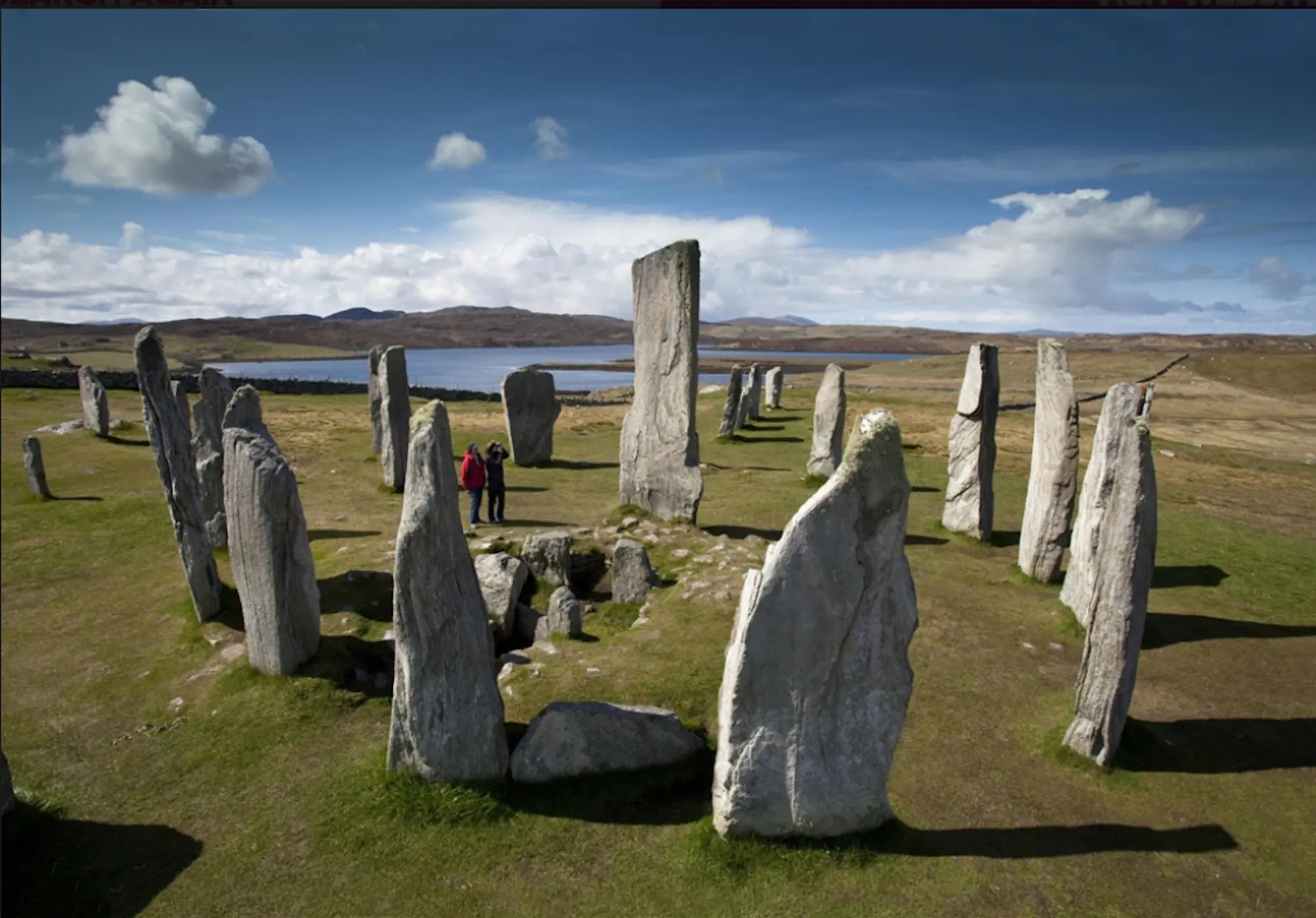 Standing stone in ShandrimStanding stone · 1572 yd
Explorer Tom Standing stone in Shandrim is actually lying down now, having fallen over on a rocky ridge. It has a shallow recess on…
 Standing stone in Umrycam (mintiaghs Ed)Standing stone · 1693 yd
Explorer Tom Standing stone in Umrycam used to be a rock, but now it’s just a big hole full of sand. I bet the standing stone didn’t…
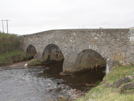 Kinnagoe BridgeBridge · 1756 yd
Explorer Tom Kinnagoe Bridge has been straddling the Owenboy since c. 1800 with a very serious face. Those triangular cut-waters are…
 Standing stone in MeenagoryStanding stone · 1.2 mi
Explorer Tom Standing stone in Meenagory is stuck in boggy land right next to Gory Hill! That sounds like a terrible place for a…
 Kinnagoe Urn Burial CistCist · 1.2 mi
Explorer Tom Kinnagoe Urn Burial Cist was found when someone was clearing sand and thought an urn was a weird piece of furniture.…
 Standing stone in GortyarriganStanding stone · 1.3 mi
Explorer Tom Standing stone in Gortyarrigan is marked on the first edition of the OS 6-inch map, but there’s no trace of it…
 Standing stone in KinnagoeStanding stone · 1.4 mi
Explorer Tom Standing stone in Kinnagoe has totally collapsed into a deep nap! It used to stand up tall, but now it’s just lying…
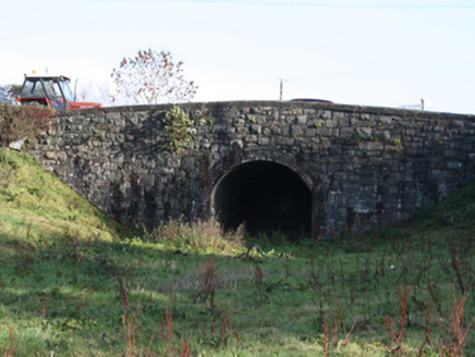 bridge1.4 mi
Explorer Tom Bridge in Ballymagan Upper took the old road over the Buncrana-to-Carndonagh railway. The trains stopped in 1935; a…
 Cockhill GraveyardGraveyard · 1.8 mi
Explorer Tom Cockhill Graveyard is home to a giant who allegedly stole a cow and hid it under the chapel roof. Nobody has found the…
 The North PolePub · 2.0 mi
Explorer Tom The North Pole in Drumfree is geographically chaotic, claiming polar status while sitting in the middle of Donegal’s…
 Buncrana Shore Path Coastal WalkWalking route · 2.5 mi
Explorer Tom Buncrana Shore Path is the kind of walk that makes a town feel wonderfully close to the wild edge of things. One minute…
More archaeology and monuments in County Donegal · All of County Donegal

What do you know about this place?Tap to add a comment or ask a question